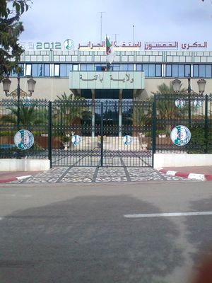
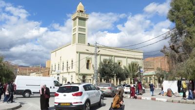
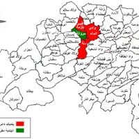
Batna Province, Administrative province in northeastern Algeria
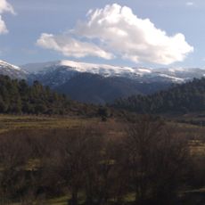
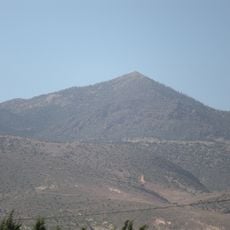
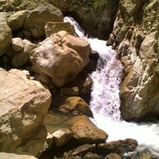
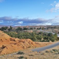
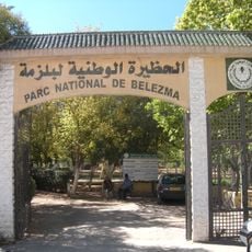
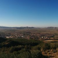
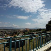
Batna is a province in northeastern Algeria situated between the Tell Atlas and Saharan Atlas mountains. The landscape features mountain ranges and natural passages that connect different regions of the country.
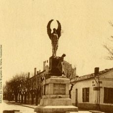
French forces built a fortress here in 1844 to control the strategic route through Kantara Pass. They used this position to dominate the connection between the Sahara and the Atlas Mountains.
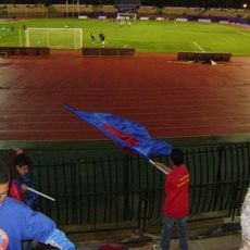
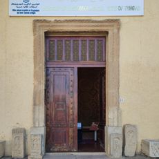
The population speaks Tamazight and identifies as Chaouia people, with regional customs and craft traditions shaping daily life. These cultural roots show in how people gather and celebrate together.
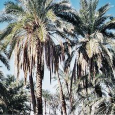
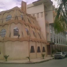
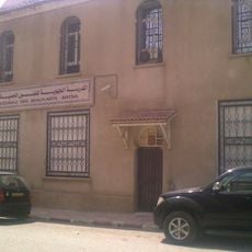
The region centers on farming, forestry, and manufacturing that shape economic life. Visitors encounter diverse landscapes and opportunities to see local production in action.
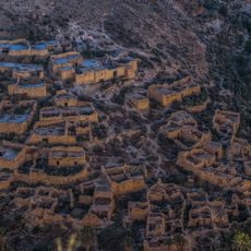
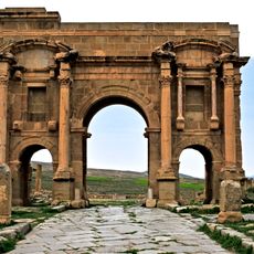
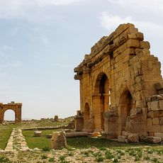
The area holds the remains of Timgad and Lambaesis, two first-century Roman sites that managed regional trade. These archaeological locations offer insight into the region's ancient past.
The community of curious travelers
AroundUs brings together thousands of curated places, local tips, and hidden gems, enriched daily by 60,000 contributors worldwide.