
Taleb Larbi, town in El Oued Province, Algeria
Location: Taleb Larbi District
Elevation above the sea: 42 m
Shares border with: Ben Guecha
GPS coordinates: 33.72760,7.51731
Latest update: March 11, 2025 00:22
Kébili
118.3 km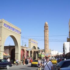
Tozeur
58.6 km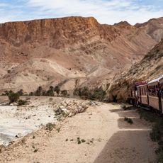
Lézard rouge
103.4 km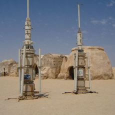
Onk Jmel
42.3 km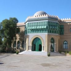
Dar Cherait Museum
59.5 km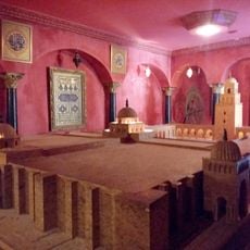
Chak Wak
61.7 km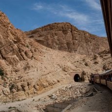
Selja Gorges
104 km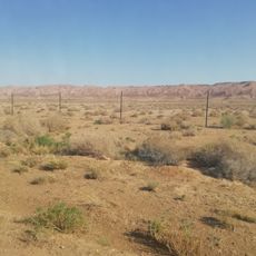
Dghoumes National Park
99.4 km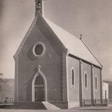
Moularès church
109.8 km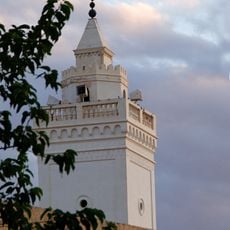
Great Mosque of Gafsa
139.7 km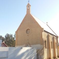
Saint Paul Church (Redeyef)
93.4 km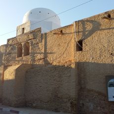
Bled El Hadhar Mosque
60.5 km
شط الفرانيق
102.7 km
Chebika oasis
76.8 km
Lars homestead
27.4 km
Parc zoologique de Robbah
75.8 km
Gafsa oasis
138.1 km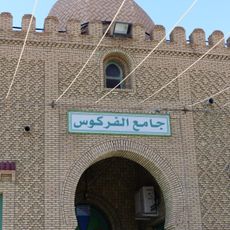
Farkous mosque
61.1 km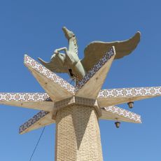
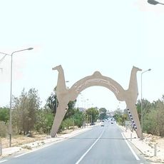
Winged horse statue
59.9 km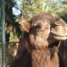
Sahara Zoo
60.2 km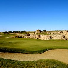
Golf course Tozeur
58.3 km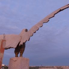
Eagle statue
58.9 km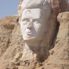
Relief of Abou el Kacem Chebbi
58.9 km
Sidi Aabid Mosque
61.3 km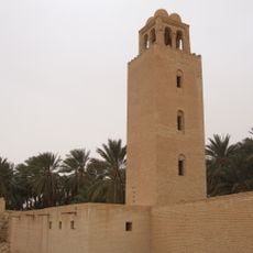
Minaret of the Ouled Majed Mosque
73.4 km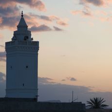
Grande mosquée
139.8 km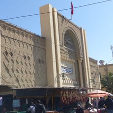
Tozeur market hall
61.2 km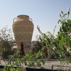
Giant jar
59.5 kmReviews
Visited this place? Tap the stars to rate it and share your experience / photos with the community! Try now! You can cancel it anytime.
Discover hidden gems everywhere you go!
From secret cafés to breathtaking viewpoints, skip the crowded tourist spots and find places that match your style. Our app makes it easy with voice search, smart filtering, route optimization, and insider tips from travelers worldwide. Download now for the complete mobile experience.

A unique approach to discovering new places❞
— Le Figaro
All the places worth exploring❞
— France Info
A tailor-made excursion in just a few clicks❞
— 20 Minutes