
N'Goussa, town in Ouargla Province, Algeria
Location: N'Goussa District
Inception: 1984
Elevation above the sea: 127 m
Shares border with: El Hadjira, Hassi Ben Abdellah, Sidi Khouiled, Ouargla, Zelfana
GPS coordinates: 32.14088,5.30828
Latest update: April 11, 2025 21:34
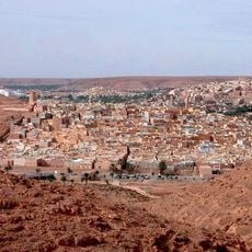
M'zab
157.8 km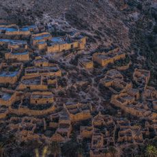
Ghoufi
333.4 km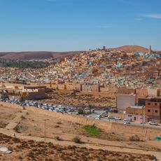
Beni Isguen
156.2 km
Gemellae
278.5 km
Rock art of the Djelfa region
311.1 km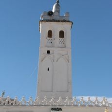
Sidi Okba Mosque
295.5 km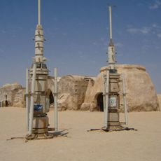
Onk Jmel
313.8 km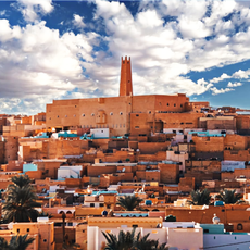
Ksar Melika
157.2 km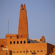
Gran Mezquita de Gardaya
161.6 km
Saharan Museum of Ouargla
20.1 km
Filiach
303.4 km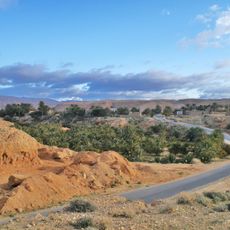
Baniane
326.4 km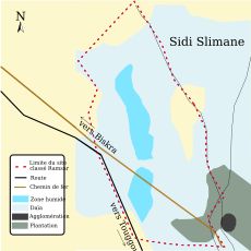
Chott Sidi Slimane
146.9 km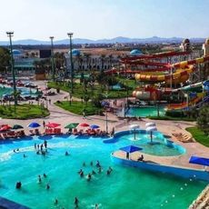
Parc aquatique AquaPalm
301.8 km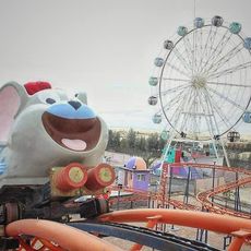
Gouri park
196.8 km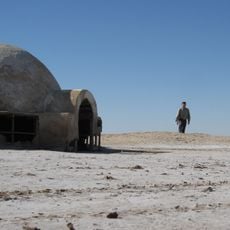
Lars homestead
298.5 km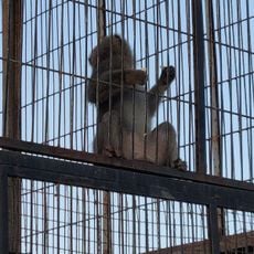
Parc zoologique de Robbah
195.8 km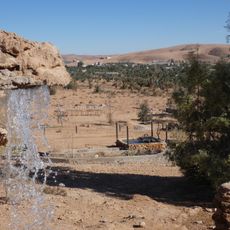
Zoo des reptiles d'El Atteuf
153.5 km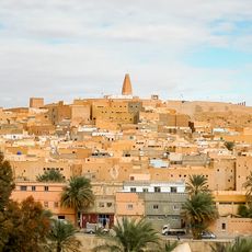
Ksar Bounoura
155.7 km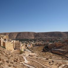
Ksar El Atteuf
151.7 km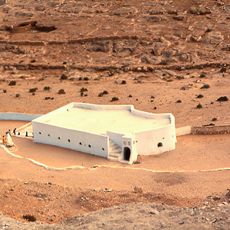
Mosque Sidi Brahim
151.7 km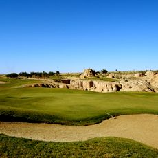
Golf course Tozeur
327.2 km
Djelfa Land
336.3 km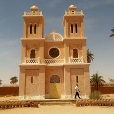
Church of Saint-Joseph, El Menia
287.1 km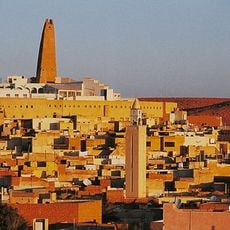
Ksar Ghardaia
158.5 km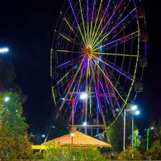
Messaoudi Park
123.6 km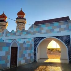
Gottai Land
263.2 km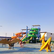
Pépinière et Zoo
83.7 kmReviews
Visited this place? Tap the stars to rate it and share your experience / photos with the community! Try now! You can cancel it anytime.
Discover hidden gems everywhere you go!
From secret cafés to breathtaking viewpoints, skip the crowded tourist spots and find places that match your style. Our app makes it easy with voice search, smart filtering, route optimization, and insider tips from travelers worldwide. Download now for the complete mobile experience.

A unique approach to discovering new places❞
— Le Figaro
All the places worth exploring❞
— France Info
A tailor-made excursion in just a few clicks❞
— 20 Minutes