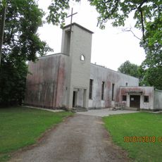
Pandivere Upland, Hill chain in Väike-Maarja Rural Municipality, Estonia
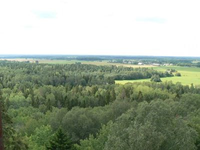
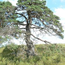
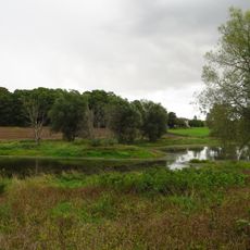
Pandivere Upland is a hill chain in northern Estonia with a highest point of about 166 meters and features gently rolling terrain throughout. The landscape shows a characteristic wavy structure with various shaped elevations separated by flatter valleys between them.
The region was first systematically mapped and documented in the 19th century, which established scientific understanding of its geological structure. This early surveying became the foundation for how people understood the natural landscape of Estonia afterward.
The name comes from old Estonian words meaning stone and mountain, reflecting what this uplift meant to people living here. You can still find traditional place names today that locals have used for centuries to describe this hilly landscape.
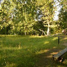
Several hiking trails run through the area and connect different viewpoints where you can see across the landscape. The best way to explore is on foot so you can experience the changing elevations and land formations directly.
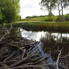
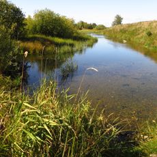
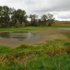
The area serves as Estonia's primary groundwater recharge zone and supplies water to much of the country. Natural springs emerge from the limestone base and form the foundation for several local water systems.
The community of curious travelers
AroundUs brings together thousands of curated places, local tips, and hidden gems, enriched daily by 60,000 contributors worldwide.