
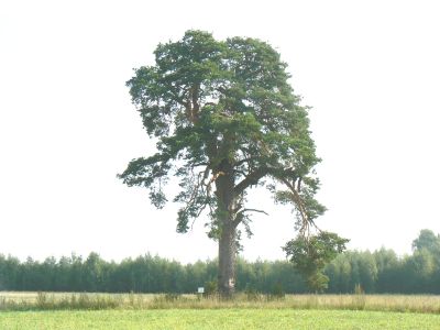
Kuldijüri mänd
Location: Kanepi Rural Municipality
GPS coordinates: 57.93318,26.80682
Latest update: March 3, 2025 12:35
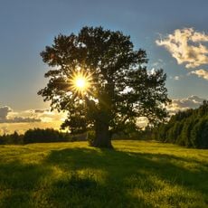
Tamme-Lauri oak
13.7 km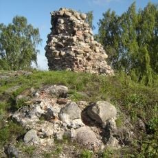
Kirumpää Castle
13.5 km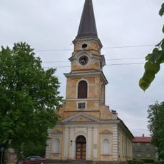
St. Catherine's Church
14.6 km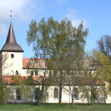
Urvaste Church
15.8 km
Estonian Road Museum
11.2 km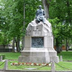
Friedrich Reinhold Kreutzwald monument
14.6 km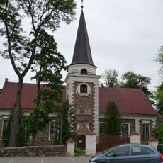
Kanepi Church
6.5 km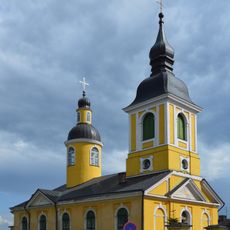
St. Catherine's Orthodox Church
14.7 km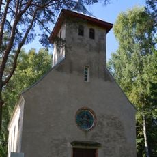
Heimtali Church
1.9 km
Ilcenes pils
14.2 km
Tsiatsungõlmaa training area
16.1 km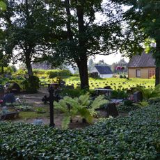
Kanepi-Mäe Cemetery
6.3 km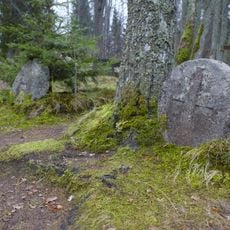
Osula kalmistu
6 km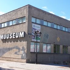
Vana-Võromaa Museum and Art Gallery
14.6 km
Väimela mõisa park
13.2 km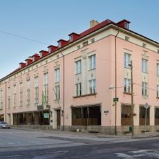
Võru pangahoone
14.7 km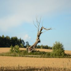
Karste hiietamm
12.8 km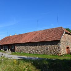
Soe Inn
9.7 km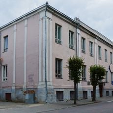
Võru kreiskooli hoone
14.6 km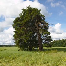
Kõlleste mänd
16.8 km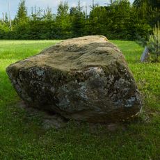
Soehavva rändrahn
5.7 km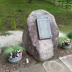
Monument to the War of Independence in Sõmerpalu
5.6 km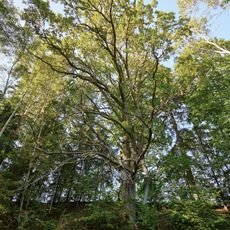
Tilleoru tamm
11.4 km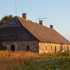
Väimela mõisa moonakatemaja
13.5 km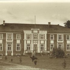
Väimela mõisa peahoone
13.3 km
Väimela mõisa moonakatemaja
13.6 km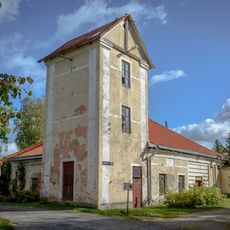
Väimela mõisa valitsejamaja kellatorniga
13.2 km
Väimela mõisa ait
13.3 kmReviews
Visited this place? Tap the stars to rate it and share your experience / photos with the community! Try now! You can cancel it anytime.
Discover hidden gems everywhere you go!
From secret cafés to breathtaking viewpoints, skip the crowded tourist spots and find places that match your style. Our app makes it easy with voice search, smart filtering, route optimization, and insider tips from travelers worldwide. Download now for the complete mobile experience.

A unique approach to discovering new places❞
— Le Figaro
All the places worth exploring❞
— France Info
A tailor-made excursion in just a few clicks❞
— 20 Minutes