
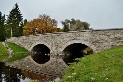
Rapla stone bridge
Location: Rapla Rural Municipality
GPS coordinates: 59.00667,24.79445
Latest update: March 4, 2025 11:16
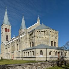
Rapla Church
127 m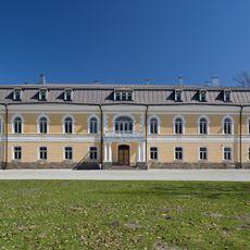
Kehtna Manor
10.4 km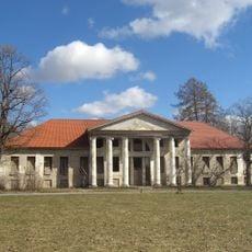
Raikküla Manor
8.2 km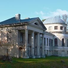
Hõreda manor
7.5 km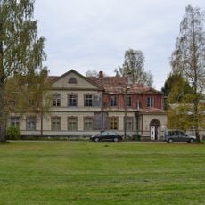
Kuusiku manor
5.5 km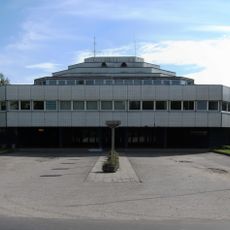
Rapla KEK-i haldushoone
948 m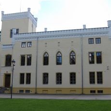
Alu manor
2.5 km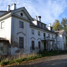
Purila Manor
8.9 km
Rapla Kesklinna Kool
454 m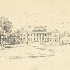
Valtu Manor
4.4 km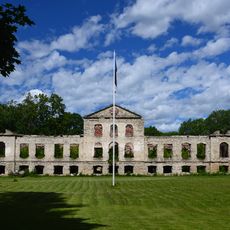
Keava Manor
10.2 km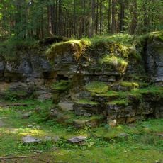
Pakamägi
7.8 km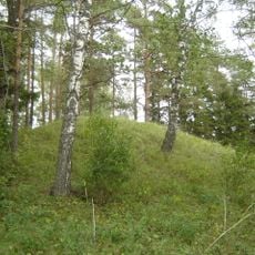
Keava hill fort
10.8 km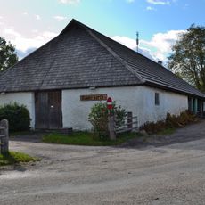
Nõmme inn
5.7 km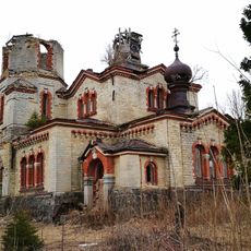
Juuru Orthodox Church
10.9 km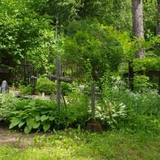
Rapla Cemetery
983 m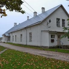
Rapla Rectory
126 m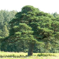
Keava kahar mänd
9.9 km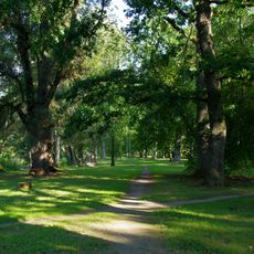
Alu manor park
2.4 km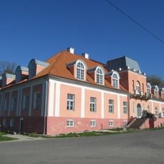
Ingliste manor house
8.8 km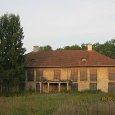
Hagudi manor house
7.4 km
Keava manor house
10.2 km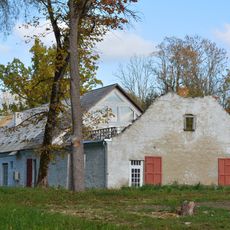
Ingliste manor grain dryer and storehouse
8.8 km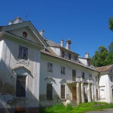
Purila manor house
8.9 km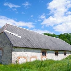
Hagudi manor granary
7.3 km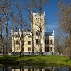
Alu manor house
2.5 km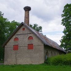
Alu mõisa ait-kuivati
2.5 km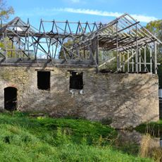
Ingliste watermill
8.8 kmReviews
Visited this place? Tap the stars to rate it and share your experience / photos with the community! Try now! You can cancel it anytime.
Discover hidden gems everywhere you go!
From secret cafés to breathtaking viewpoints, skip the crowded tourist spots and find places that match your style. Our app makes it easy with voice search, smart filtering, route optimization, and insider tips from travelers worldwide. Download now for the complete mobile experience.

A unique approach to discovering new places❞
— Le Figaro
All the places worth exploring❞
— France Info
A tailor-made excursion in just a few clicks❞
— 20 Minutes