
Abula Cliff, cliff in Estonia
Location: Saaremaa Rural Municipality
GPS coordinates: 58.45130,22.11386
Latest update: March 11, 2025 22:15
Vilsandi National Park
16 km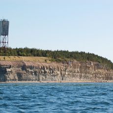
Panga Cliff
16.7 km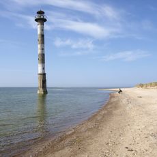
Kiipsaare Lighthouse
16.6 km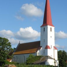
Kihelkonna St. Michael's Church
11.1 km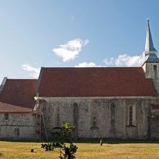
Kaarma Church
25.7 km
Kaarma hill fort
26 km
Viidumäe Nature Reserve
18 km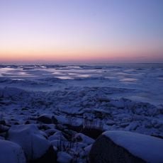
West Estonian Archipelago Biosphere Reserve
28.1 km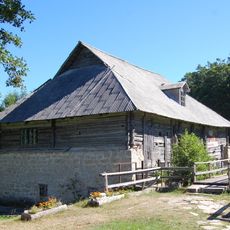
Pidula Manor
4.1 km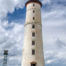
Vilsandi Lighthouse
19.1 km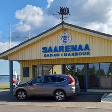
Saaremaa Harbour
11.8 km
Kuressaare suursild
29.7 km
Kärla Church
15.6 km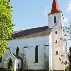
Mustjala Church
7.2 km
Port de Veere
3.9 km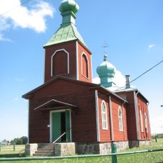
Metsküla Orthodox Church
27.9 km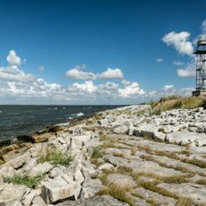
Elda Cliff
23.2 km
Pähkla Spring
27.3 km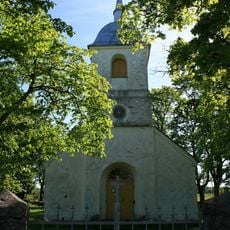
Lümanda orthodox church
18.8 km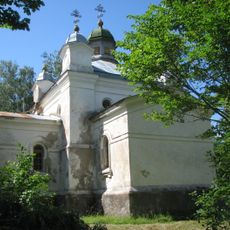
Mustjala Orthodox Church
6.9 km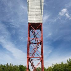
Panga light beacon
16.6 km
Võhma maalinn
17.1 km
Küdema kurisud
11.9 km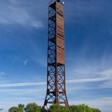
Karala light beacon
23.7 km
Viidumäe Springs
18.8 km
Järve Dunes' Nature Park
29.8 km
Merise light beacon
5.4 km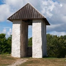
Kihelkonna bell tower
11.2 kmReviews
Visited this place? Tap the stars to rate it and share your experience / photos with the community! Try now! You can cancel it anytime.
Discover hidden gems everywhere you go!
From secret cafés to breathtaking viewpoints, skip the crowded tourist spots and find places that match your style. Our app makes it easy with voice search, smart filtering, route optimization, and insider tips from travelers worldwide. Download now for the complete mobile experience.

A unique approach to discovering new places❞
— Le Figaro
All the places worth exploring❞
— France Info
A tailor-made excursion in just a few clicks❞
— 20 Minutes