
Põltsamaa II maailmasõja matmispaik
Location: Põltsamaa Rural Municipality
GPS coordinates: 58.65935,25.98439
Latest update: June 5, 2025 16:21
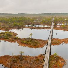
Endla Nature Reserve
26.7 km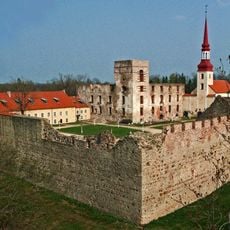
Põltsamaa Castle
1.1 km
Alam-Pedja Nature Reserve
24.8 km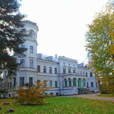
Puurmani manor
20 km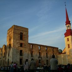
Põltsamaa Church
1.1 km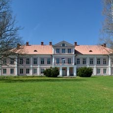
Kabala Manor
20.9 km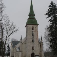
Kursi Church
22.1 km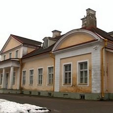
Koigi manor
23.6 km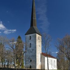
Pilistvere Church
13.6 km
Parika Nature Reserve
22 km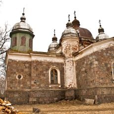
Lalsi Orthodox Church
19.7 km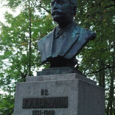
Karl August Hermanni monument
1 km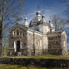
Arussaare Orthodox Church
17.6 km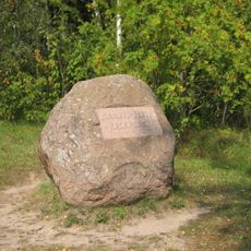
Kalmemägi
5.9 km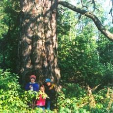
Jaani-Hansu mänd
19.9 km
Põltsamaa Orthodox Church
1.1 km
Jõesaare kadakas
22.9 km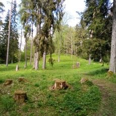
Kurista linnamägi
21.4 km
Põltsamaa vana Niguliste kirik
1.2 km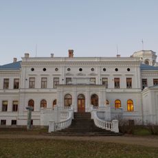
Puurmani manor house
20 km
Puurmani liiklussõlm
20.2 km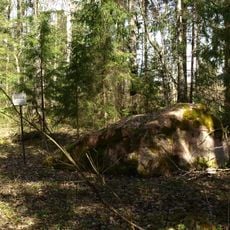
Arussaare püha kivi
17.9 km
Tõrenurme Hiiepärn
10 km
Adavere Library
7.3 km
Leie Library
26.4 km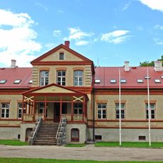
Adavere manor house
7.4 km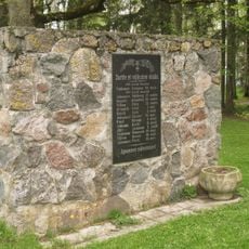
Monument to the War of Independence in Vaimastvere
24.5 km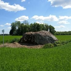
Sarve kivi
11.1 kmReviews
Visited this place? Tap the stars to rate it and share your experience / photos with the community! Try now! You can cancel it anytime.
Discover hidden gems everywhere you go!
From secret cafés to breathtaking viewpoints, skip the crowded tourist spots and find places that match your style. Our app makes it easy with voice search, smart filtering, route optimization, and insider tips from travelers worldwide. Download now for the complete mobile experience.

A unique approach to discovering new places❞
— Le Figaro
All the places worth exploring❞
— France Info
A tailor-made excursion in just a few clicks❞
— 20 Minutes