
II maailmasõjas hukkunute ja terroriohvrite ühishaud, ühishaud Viru-Jaagupis
Location: Vinni Rural Municipality
GPS coordinates: 59.24194,26.47566
Latest update: March 27, 2025 04:00
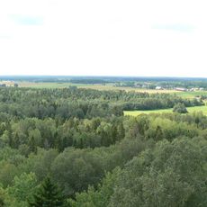
Pandivere Upland
11.2 km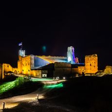
Rakvere Castle
13.7 km
AQVA Hotel & Spa
13.6 km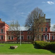
Porkuni Manor
17 km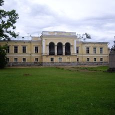
Muuga manor
17.1 km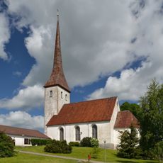
Rakvere Church
13.6 km
Porkuni Castle
17.1 km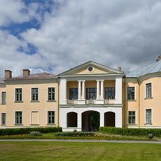
Mõdriku manor
7.1 km
St. Paul's Church
13 km
Lasila Manor
14.8 km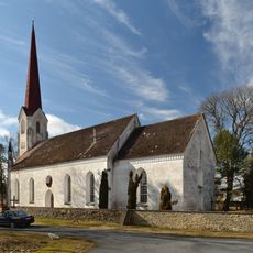
Viru-Jaagupi Church
300 m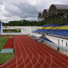
Rakvere Linnastaadion
14.1 km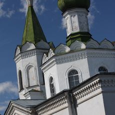
Orthodox Church of the Nativity of Our Lady in Rakvere
13.9 km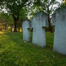
Rakvere Saksa sõjaväekalmistu
12.8 km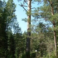
Mädaoja mänd
13.2 km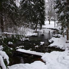
Lavi Spring
10.5 km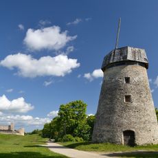
Vallimägi windmill
13.3 km
Rakvere market building
13.4 km
Building of the Rakvere Theatre
14 km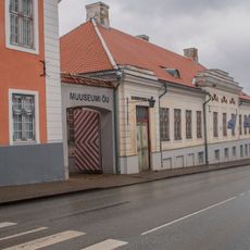
Näitusemaja Rehbinder
13.9 km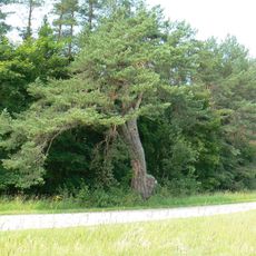
Pühamänd
10.6 km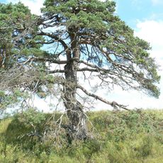
Porkuni mänd
17.1 km
Vetiku Springs
8.9 km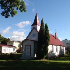
Rakvere Methodist Church
13.6 km
Assamalla Library
12.1 km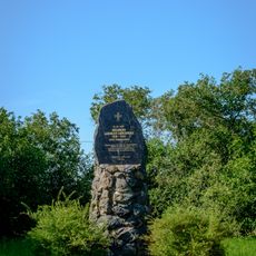
Rägavere lahingu mälestussammas
8.7 km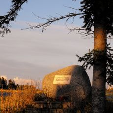
II maailmasõjas hukkunud tundmatu sõduri haud
7.7 km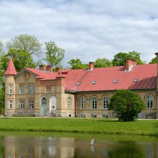
Lasila manor house
14.8 kmReviews
Visited this place? Tap the stars to rate it and share your experience / photos with the community! Try now! You can cancel it anytime.
Discover hidden gems everywhere you go!
From secret cafés to breathtaking viewpoints, skip the crowded tourist spots and find places that match your style. Our app makes it easy with voice search, smart filtering, route optimization, and insider tips from travelers worldwide. Download now for the complete mobile experience.

A unique approach to discovering new places❞
— Le Figaro
All the places worth exploring❞
— France Info
A tailor-made excursion in just a few clicks❞
— 20 Minutes