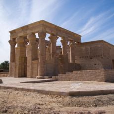
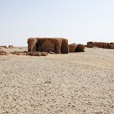
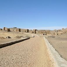
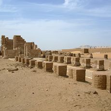
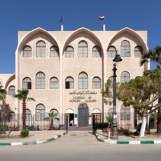
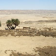
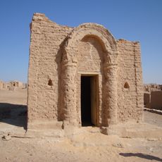
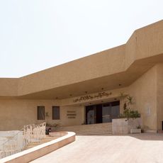
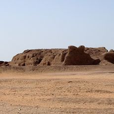
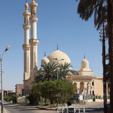
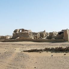
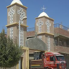
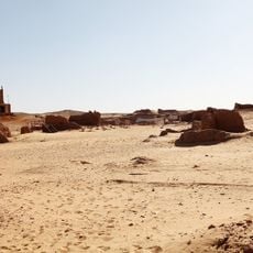
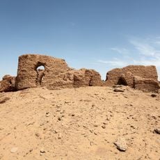
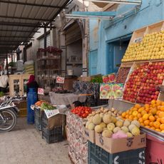
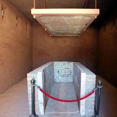
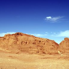
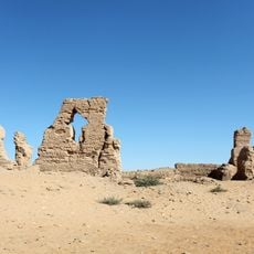
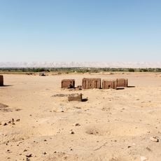
Al Dakhla, مركز ومدينة الداخلة
Location: New Valley Governorate
Elevation above the sea: 441 m
GPS coordinates: 25.51250,29.25694
Latest update: March 8, 2025 04:35
Kharga Oasis
133.3 km
Dakhla Oasis
9.1 km
Temple of Hibis
130.5 km
Kellis
16.1 km
Bagawat Necropolis
130.5 km
Deir el-Hagar
47.7 km
Museum of Alwady Algadid
129.7 km
Mastaba of Khentika
5.5 km
Ain Mustafa Kashef
130.3 km
Ain Askar, Umm Mawagir
133.2 km
Ain Amur
75.3 km
Chapel of Peace
130.4 km
Regional Research Center
129.3 km
Qila' el-Dabba
5.6 km
Great Mosque
130.8 km
Chapel of Exodus
130.5 km
Tahunat Hawa
129.2 km
Mastaba of Ima-Pepi II
5.5 km
Egyptian Tourism Authority, New Valley office
129.9 km
Deir el-Bagawat
130.1 km
Church of Holy Virgin
129.1 km
Bir el-Shaghala
29.5 km
Deir el-Malak
21.9 km
Old market
130.9 km
Tomb of Betju and Ideki
5.6 km
Mastaba of Khentikau-Pepi
5.6 km
Deir Abu Matta
35.8 km
Beit el-Arais
18 kmReviews
Visited this place? Tap the stars to rate it and share your experience / photos with the community! Try now! You can cancel it anytime.
Discover hidden gems everywhere you go!
From secret cafés to breathtaking viewpoints, skip the crowded tourist spots and find places that match your style. Our app makes it easy with voice search, smart filtering, route optimization, and insider tips from travelers worldwide. Download now for the complete mobile experience.
A unique approach to discovering new places❞
— Le Figaro
All the places worth exploring❞
— France Info
A tailor-made excursion in just a few clicks❞
— 20 Minutes