Priego de Córdoba

Log in to your account

AroundUs is a community-driven map of interesting places, built by curious explorers like you. It grows with every review, story, and photo you share.
Connect to save your favorite spots, contribute locations, and create personalized routes.
Continue with Google
Continue with Apple
Continue with X
Continue with Facebook
Continue with email
By continuing, you accept our Terms and Conditions and our Privacy Policy
Create an account
Add to collection
Map
Suggest a change
Share

Priego de Córdoba, Medieval municipality in Sierra Subbetica region, Spain

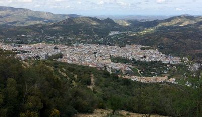
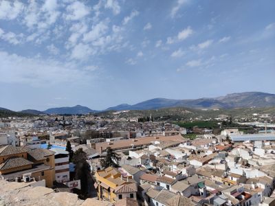
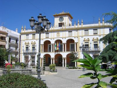
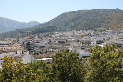
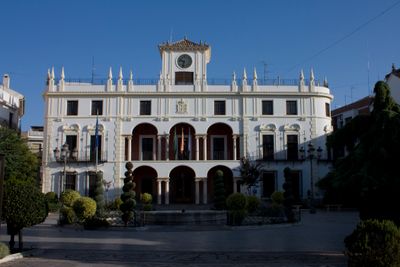
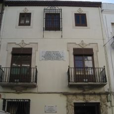
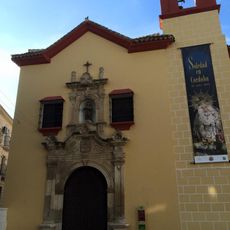
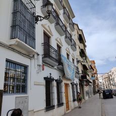
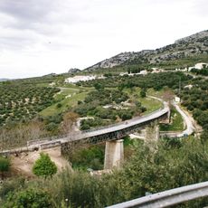
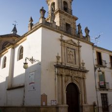
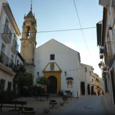
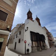
Priego de Córdoba is a municipality in the Sierra Subbetica region situated at approximately 652 meters elevation. The compact old town is characterized by noble houses, and numerous Baroque fountains and religious buildings enhance the streetscape.

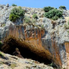
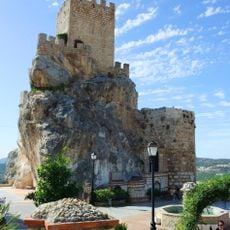
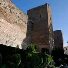
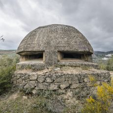
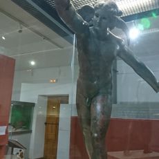
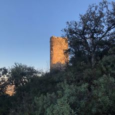
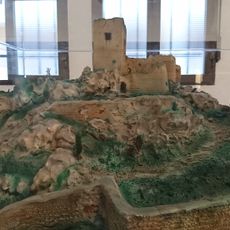
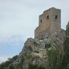
The settlement began as a Roman outpost and later developed into a Moorish fortress. In 1341, it fell under Christian rule when King Alfonso XI of Castile completed the final conquest.

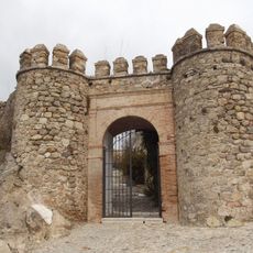
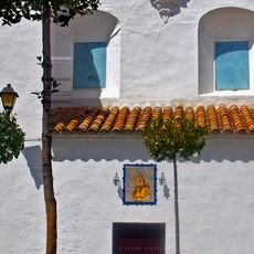
The Barrio de la Villa district shows narrow lanes with Islamic influences, where flower pots decorate house entrances and underground passages connect to the castle. Walking through these streets, you notice religious symbols on the facades and feel the connection to earlier times.

The historic old town with its narrow lanes is made for walking, though sturdy shoes and water are advisable during warm months. The numerous fountains provide spots to rest along the way, and churches are generally open during daylight hours.

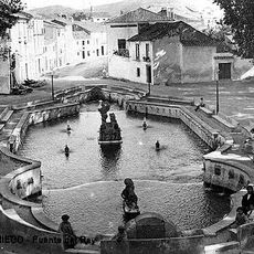
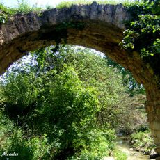
The town earned the title City of Water thanks to its natural springs, which shape daily life and appear throughout the streets. Its rich Baroque architecture also brought recognition as a jewel of that ornate era.

Location: Córdoba Province

Capital city: Priego de Córdoba

Elevation above the sea: 652 m

Part of: notary district of Priego, Córdoba, Mancomunidad de Municipios de la Zona Subbética de Córdoba, Subbetica

Shares border with: Algarinejo, Alcaudete, Iznájar, Rute, Carcabuey, Luque, Fuente-Tójar, Alcalá la Real, Almedinilla, Montefrío

Website: http://priegodecordoba.es

GPS coordinates: 37.43843,-4.19804

Latest update: December 14, 2025 20:21

Photos
Reviews

Visited this place? Tap the stars to rate it and share your experience / photos with the community! Try now! You can cancel it anytime.

« Priego de Córdoba - Medieval municipality in Sierra Subbetica region, Spain » is provided by Around Us (aroundus.com). Images and texts are derived from Wikimedia project under a Creative Commons license. You are allowed to copy, distribute, and modify copies of this page, under the conditions set by the license, as long as this note is clearly visible.

Discover hidden gems everywhere you go!

From secret cafés to breathtaking viewpoints, skip the crowded tourist spots and find places that match your style. Our app makes it easy with voice search, smart filtering, route optimization, and insider tips from travelers worldwide. Download now for the complete mobile experience.

Around Us App Screenshot

A unique approach to discovering new places

Le Figaro

All the places worth exploring

France Info

A tailor-made excursion in just a few clicks

20 Minutes