Ulla, River in Galicia, Spain
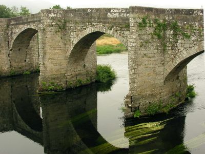
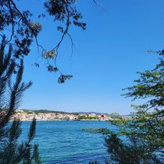
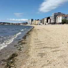
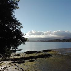
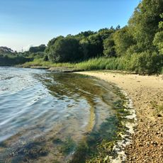
The Ulla River flows across Galicia for roughly 130 kilometers from its source in the Montes da Vacaloura mountains to its mouth at the Ría de Arousa estuary near Catoira. Along its course, it collects water from several tributaries including the Arnego, Deza, Pambre, and Sar.
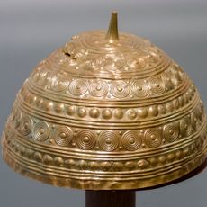
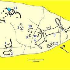
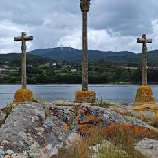
Human settlements have existed along its banks since Neolithic times, as evidenced by archaeological remains and rock carvings discovered near the river's mouth. This early occupation shows the region has supported communities for thousands of years.
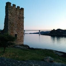
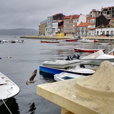
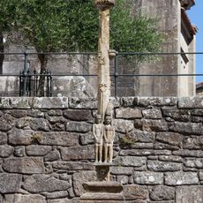
The river's path connects fishing villages to sacred sites, and local communities still organize traditional boat processions along its waters during certain celebrations.
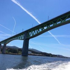
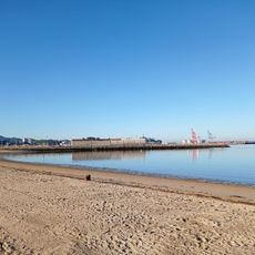
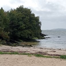
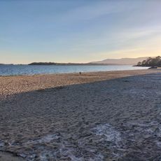
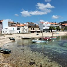
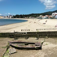
The river is accessible from various points along its course, particularly from the village of Catoira where there is a working port with clear road access. Water levels fluctuate seasonally, so conditions vary throughout the year depending on rainfall.
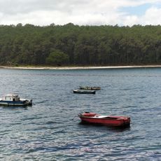
Stone fishing weirs called pesqueiras line its banks, structures that generations of fishermen built to trap lamprey using methods that have remained largely unchanged for hundreds of years. These ingenious traps demonstrate how communities adapted to the river's rhythm and resources.
The community of curious travelers
AroundUs brings together thousands of curated places, local tips, and hidden gems, enriched daily by 60,000 contributors worldwide.