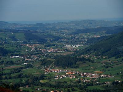
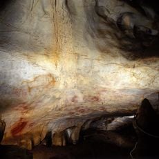
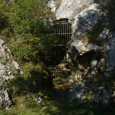
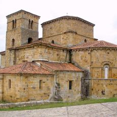
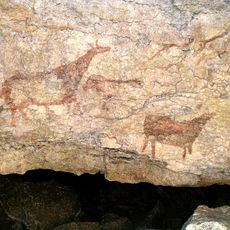
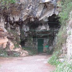
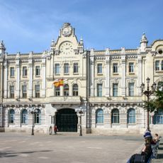
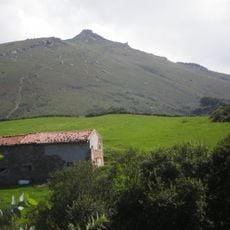
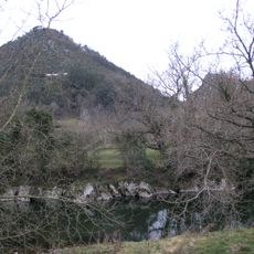
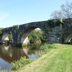
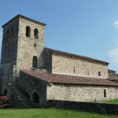
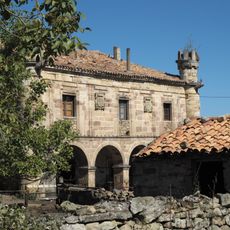
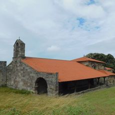
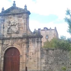
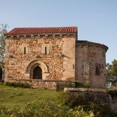
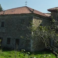
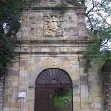
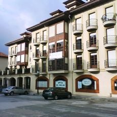
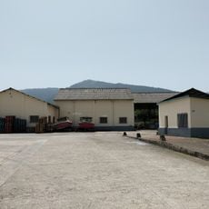
Castañeda, municipality of Spain
Location: Cantabria
Elevation above the sea: 66 m
Website: https://aytocastaneda.com
Part of: Mancomunitat de los Valles Pasiegos, Mancomunitat de Serveis Socials de Casta
Shares border with: Santa María de Cayón, Santiurde de Toranzo, Puente Viesgo, Piélagos, Villaescusa
Website: https://aytocastaneda.com
GPS coordinates: 43.31139,-3.92806
Latest update: May 26, 2025 20:03
Cabarceno Natural Park
7.5 km
Cave of El Castillo
3.7 km
Cueva de La Pasiega
3.7 km
Collegiate of Santa Cruz de Castañeda
1.2 km
Cueva de El Pendo
8.6 km
Cave of Las Monedas
4.1 km
Santander
9.7 km
Monte Dobra
7.2 km
Caverna de Las Chimeneas
3.8 km
Monte Castillo
4 km
Bridge of Arce
10.3 km
San Andrés
4.2 km
Casona de Ceballos el Caballero
4.1 km
Ermita de San Pantaleón
9.1 km
Tower of Velo
10.7 km
Hermitage of Saint Michael of Carceña
3.5 km
Castros del monte Dobra
7.2 km
Castillo del Collao, Camargo
10.7 km
Rollo heráldico de Villafufre
8.7 km
Ermita de San Esteban, Escobedo
9.4 km
Iglesia de San Jorge, Penagos
10.2 km
Manor house of Díaz de Villegas
5.2 km
Finca de Riosequillo
8.8 km
Granero de Torrelavega II
9.6 km
Sisos
8.1 km
Biblioteca Municipal de Santa María de Cayón - Jerónimo Arozamena
6.1 km
Granero de Torrelavega
9.7 km
Caballar
4.3 kmReviews
Visited this place? Tap the stars to rate it and share your experience / photos with the community! Try now! You can cancel it anytime.
Discover hidden gems everywhere you go!
From secret cafés to breathtaking viewpoints, skip the crowded tourist spots and find places that match your style. Our app makes it easy with voice search, smart filtering, route optimization, and insider tips from travelers worldwide. Download now for the complete mobile experience.
A unique approach to discovering new places❞
— Le Figaro
All the places worth exploring❞
— France Info
A tailor-made excursion in just a few clicks❞
— 20 Minutes