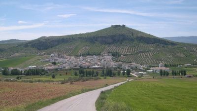
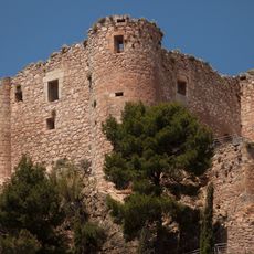
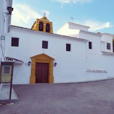
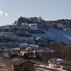
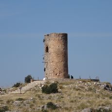
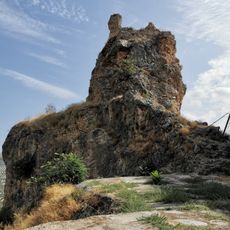
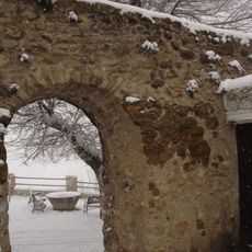
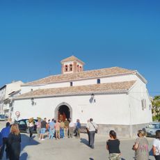
Píñar, municipality of Spain
Location: Province of Granada
Elevation above the sea: 950 m
Part of: Granada notarial district, Los Montes
Shares border with: Iznalloz, Guadahortuna, Torre-Cardela, Gobernador, Morelábor, Darro
Website: http://turismopinar.com
GPS coordinates: 37.44250,-3.44056
Latest update: March 11, 2025 12:42
Hacho Bridge
19.9 km
Cueva de las Ventanas
1.1 km
Quéntar Reservoir
26.2 km
Iglesia de la Inmaculada Concepción
23.2 km
Francisco Abellán Reservoir
21.1 km
Castillo de Huelma
23.3 km
Sanctuary of Our Lady of the Holy Fountain (Huelma)
25.7 km
Necrópolis megalítica de Panoría
15.3 km
Castillo de Arenas
23.2 km
Castillo de Píñar
557 m
El Castillejo
24.5 km
Castillo Iznalloz
9.7 km
Puente del Anchurón
22.4 km
Iglesia de Nuestra Señora de los Remedios
9.8 km
Torre del Molino
10.6 km
Iglesia de Santa María La Mayor, Guadahortuna
13.4 km
Palacio del Cuzco
25.6 km
Iglesia de Nuestra Señora del Rosario
24.5 km
Ayuntamiento
21.2 km
Castillo (Montejícar)
15.8 km
Torre de la Atalaya (Güevéjar)
26.1 km
Castillo de Colomera
25.4 km
Recinto amurallado
23.3 km
Iglesia de la Asunción de Nuestra Señora
25.6 km
Cueva de las Ventanas
551 m
Iglesia de Nuestra Señora de la Anunciación, Alamedilla
23.3 km
Ermita de San Antonio, Alamedilla
23 km
Iglesia de Nuestra Señora de la Asunción
21.1 kmReviews
Visited this place? Tap the stars to rate it and share your experience / photos with the community! Try now! You can cancel it anytime.
Discover hidden gems everywhere you go!
From secret cafés to breathtaking viewpoints, skip the crowded tourist spots and find places that match your style. Our app makes it easy with voice search, smart filtering, route optimization, and insider tips from travelers worldwide. Download now for the complete mobile experience.
A unique approach to discovering new places❞
— Le Figaro
All the places worth exploring❞
— France Info
A tailor-made excursion in just a few clicks❞
— 20 Minutes