
Aín, municipality of Spain
Location: Plana Baixa
Elevation above the sea: 498 m
Part of: Mancomunitat Espadà-Millars
Shares border with: Alcudia de Veo, Algimia de Almonacid, Almedíjar, Chóvar, Eslida, Azuébar
Phone: +34964629040
Website: http://ajuntamentdain.es
GPS coordinates: 39.90055,-0.34116
Latest update: April 10, 2025 16:44

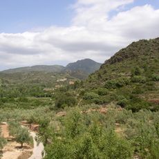
Sierra de Espadán Natural Park
5.7 km
Benitandús
4.1 km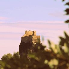
Castell de Maús
5 km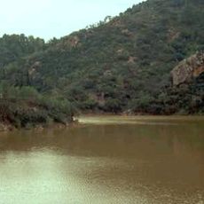
Embalse de Onda
4 km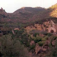
Castle of Xinquer
5.2 km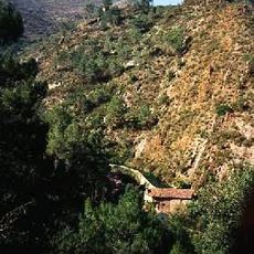
Castell de Benalí
1.1 km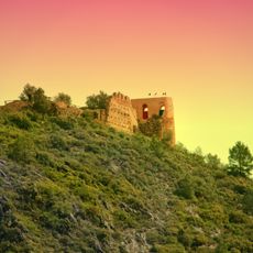
Castle of Alcúdia de Veo
2.3 km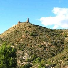
Castle of Azuébar
7.5 km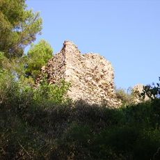
Castle of Eslida
3.8 km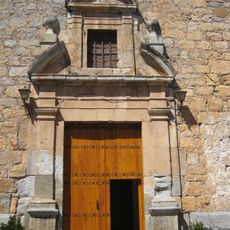
Església de Sant Miquel Arcàngel de l'Alcúdia de Veo
2.1 km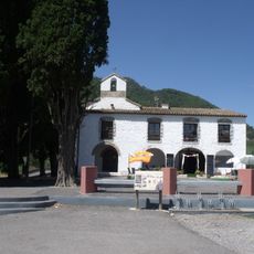
Ermita de Santa Cristina d'Artana
5.9 km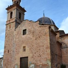
Church of San Mateo, Azuébar
7.7 km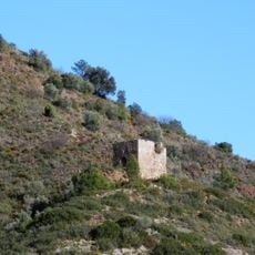
Torre de l'Alfàndiga
7.4 km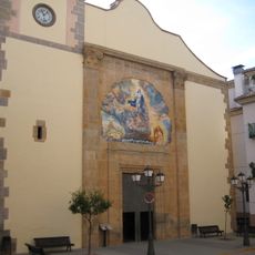
Església de l'Assumpció de Suera
5.8 km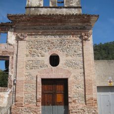
Mare de Déu dels Desemparats de Benitandús
3.3 km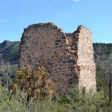
Torreta de Chóvar
6.3 km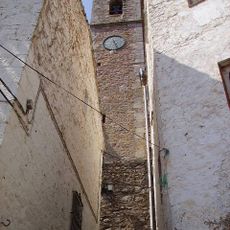
Church of the Savior
3.7 km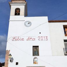
Church of Santa Ana, Chóvar
5.7 km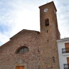
Church of Nuestra Señora de los Ángeles, Almedíjar
6.6 km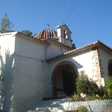
Ermita del Crist del Calvari (Eslida)
3.6 km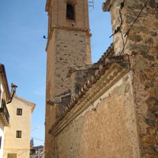
Church of the Assumption
2 km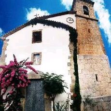
Església de Sant Miquel d'Aín
60 m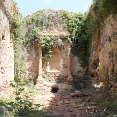
Església de la Puríssima Concepció
5.2 km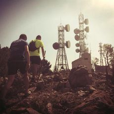
Puntal del Aljibe
3.5 km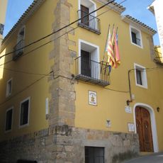
Town Hall of Suera
5.8 km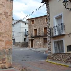
Núcleo Histórico Tradicional de Azuébar
7.7 km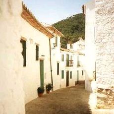
Historical center of Aín
30 m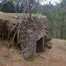
Nevera de las Hoyas
4.3 kmVisited this place? Tap the stars to rate it and share your experience / photos with the community! Try now! You can cancel it anytime.
Discover hidden gems everywhere you go!
From secret cafés to breathtaking viewpoints, skip the crowded tourist spots and find places that match your style. Our app makes it easy with voice search, smart filtering, route optimization, and insider tips from travelers worldwide. Download now for the complete mobile experience.

A unique approach to discovering new places❞
— Le Figaro
All the places worth exploring❞
— France Info
A tailor-made excursion in just a few clicks❞
— 20 Minutes