Xàtiva

Log in to your account

AroundUs is a community-driven map of interesting places, built by curious explorers like you. It grows with every review, story, and photo you share.
Connect to save your favorite spots, contribute locations, and create personalized routes.
By continuing, you accept our Terms and Conditions and our Privacy Policy
Add to collection
Map
Suggest a change
Share

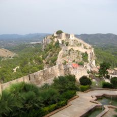
Xàtiva, Medieval municipality in La Costera, Spain.

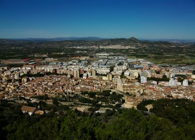
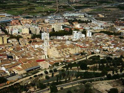
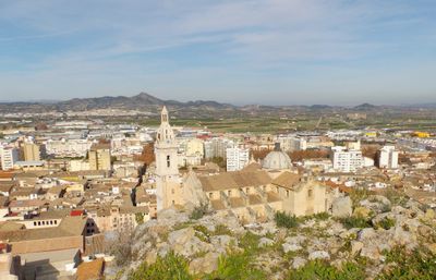
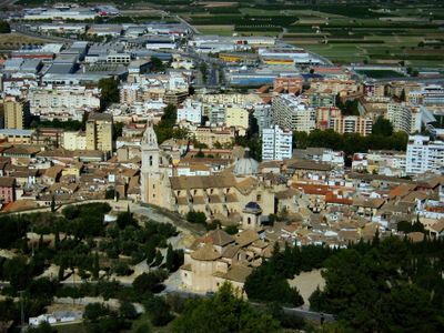
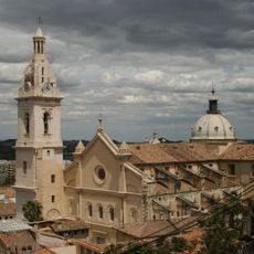
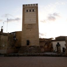
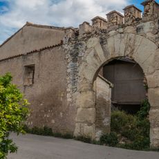
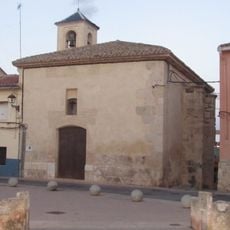
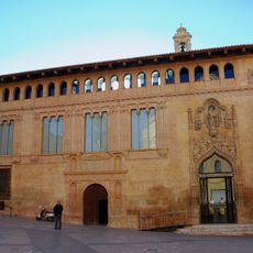
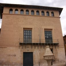
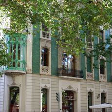
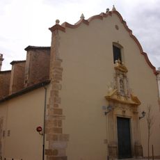
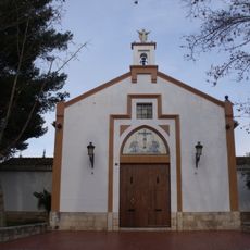
Xàtiva is a municipality in the comarca of La Costera in the province of Valencia, sitting on a hillside below a medieval fortress. Orchards of oranges and almonds spread around the lower slopes, while sections of old walls encircle the historic core.

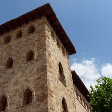
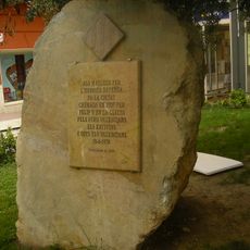
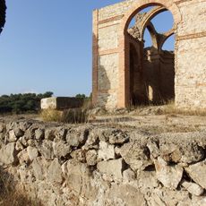
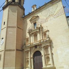
Romans and Moors left their mark before the town fell under Christian rule in the 13th century and became a capital of its own kingdom. After defeat in battle in 1707, the king ordered buildings burned and renamed the town Colonia Nueva de San Felipe, a name later rejected by its people.

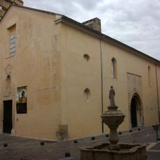
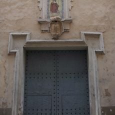
The name comes from the Arabic Šāṭiba and points to the Moorish past still visible in the layout of streets and squares. Narrow lanes wind uphill from the old center, where locals gather in shaded plazas near fountains and arched walkways.

A visit in the morning or late afternoon works well to walk the uphill streets when temperatures are cooler. Wear sturdy shoes for the climb, as cobblestones and slopes can be steep.

Two Renaissance popes were born here, making the town a center of religious power in its time. The local museum displays a portrait of a monarch hung upside down, a quiet sign of resistance to the burning of the town.

Location: La Costera

Location: Province of Valencia

Capital city: Xàtiva

Elevation above the sea: 115 m

Shares border with: L'Alcúdia de Crespins, Barxeta, Canals, Cerdà, Estubeny, Genovés, La Granja de la Costera, Llocnou d'en Fenollet, Llanera de Ranes, La Llosa de Ranes, Montesa, Novelé, Rotglà i Corberà, Torrella, Vallés, Alcàntera de Xúquer, Beneixida, Carcaixent, Càrcer, L'Ènova, Manuel, Rafelguaraf, Sellent, Castelló, Anna, Enguera, Bellús, Benigànim, Guadasséquies, L'Olleria, Simat de la Valldigna

Website: http://xativa.es

GPS coordinates: 38.98873,-0.51915

Latest update: December 5, 2025 16:32

Photos
Reviews

Visited this place? Tap the stars to rate it and share your experience / photos with the community! Try now! You can cancel it anytime.

« Xàtiva - Medieval municipality in La Costera, Spain » is provided by Around Us (aroundus.com). Images and texts are derived from Wikimedia project under a Creative Commons license. You are allowed to copy, distribute, and modify copies of this page, under the conditions set by the license, as long as this note is clearly visible.

Discover hidden gems everywhere you go!

From secret cafés to breathtaking viewpoints, skip the crowded tourist spots and find places that match your style. Our app makes it easy with voice search, smart filtering, route optimization, and insider tips from travelers worldwide. Download now for the complete mobile experience.

Around Us App Screenshot

A unique approach to discovering new places

Le Figaro

All the places worth exploring

France Info

A tailor-made excursion in just a few clicks

20 Minutes