Enable Location

We need your location to show you interesting places around you

Discover nearby places

Find interesting locations and hidden gems around you

Precise directions

Get accurate directions and distances to places

Your location is never shared with other users. It's only used when you tap the location button.

Ágreda

Log in to your account

Start exploring — it's free

Trusted by 62,280 travelers worldwide

Continue with Google
Continue with Apple
or

We will send you a code to connect

By continuing, you accept our Terms and Conditions and our Privacy Policy

Check your inbox

We've sent a pincode in your inbox. Please enter the code below.

Ágreda, Medieval municipality in Soria Province, Spain

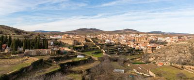
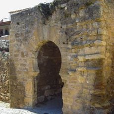
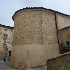
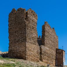
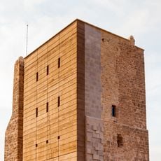
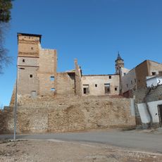
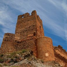
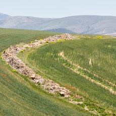
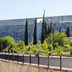
Ágreda is a town in Soria Province featuring stone buildings, narrow streets, and defensive walls from different historical periods. The settlement sits at around 900 meters elevation across varied terrain.

The town emerged in medieval times as a strategic location between the kingdoms of Castile and Aragon, serving as a key point for trade and defense. Christians, Jews, and Muslims settled here over time and shaped the place together through their coexistence.

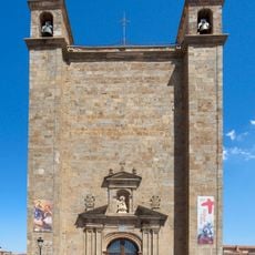
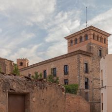
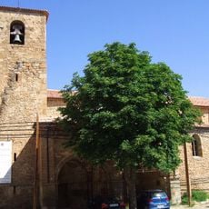
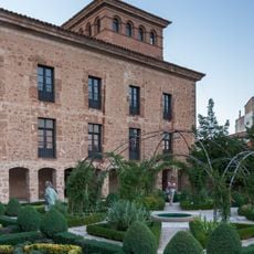
Several religious buildings shape the character of the town, particularly the Basilica of Nuestra Señora de los Milagros which holds an important place in local life. These churches show how people here have nurtured their spiritual traditions across generations.

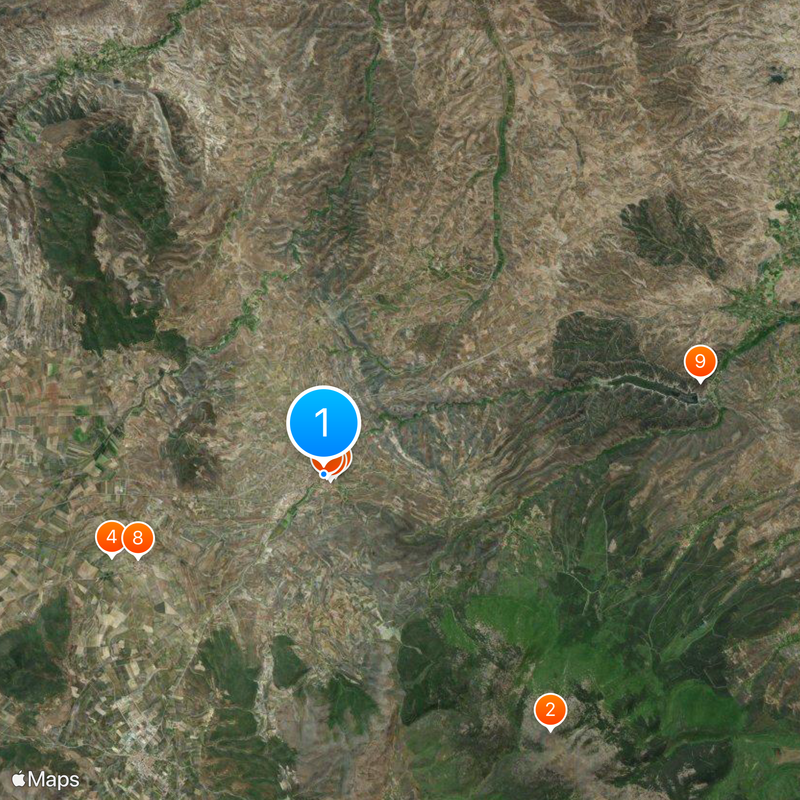
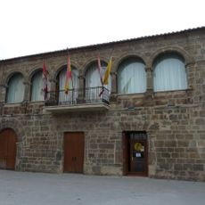
The town is well connected to larger Spanish cities through road networks, making it easy to explore the broader region. Local facilities support visitors with services you would expect in a working community with agriculture and small industries.

The Monastery of La Concepción holds the remains of María de Jesús, a woman who exchanged over 600 letters with King Philip IV. This unusual correspondence between a nun and a monarch is a remarkable piece of history you can still trace there today.

The community of curious travelers

AroundUs brings together thousands of curated places, local tips, and hidden gems, enriched daily by 60,000 contributors worldwide.

Start exploring
Location
Capital city
Ágreda
Elevation above the sea
929 m
Shares border with
Cueva de Ágreda, Ólvega, Castilruiz, Dévanos, Aguilar del Río Alhama, Cervera del Río Alhama, Tarazona, Los Fayos, Vozmediano, Añón de Moncayo
GPS coordinates
41.85500,-1.92028
Latest update
December 20, 2025 13:21
« Ágreda - Medieval municipality in Soria Province, Spain » is provided by Around Us (aroundus.com). Images and texts are derived from Wikimedia project under a Creative Commons license. You are allowed to copy, distribute, and modify copies of this page, under the conditions set by the license, as long as this note is clearly visible.

Discover hidden gems everywhere you go!

From secret cafés to breathtaking viewpoints, skip the crowded tourist spots and find places that match your style. Our app makes it easy with voice search, smart filtering, route optimization, and insider tips from travelers worldwide. Download now for the complete mobile experience.

Around Us App Screenshot

A unique approach to discovering new places

Le Figaro

All the places worth exploring

France Info

A tailor-made excursion in just a few clicks

20 Minutes

Around Us
Travel Guide & Maps
Download

Send to your phone

QR Code
1

Open the camera app on your mobile.

2

Point at the QR code with your camera. A notification will appear.

3

Tap the notification to open the link.