
Munera, municipality of Spain
Location: Albacete Province
Capital city: Munera
Elevation above the sea: 929 m
Part of: Mancomunitat «Campo de Montiel», Mancomunidad de Servicios «Almenara», Mancomunitat de Serveis de El Bonillo y Munera espanyol
Shares border with: El Bonillo, Villarrobledo, La Roda, Lezuza
GPS coordinates: 39.03924,-2.48203
Latest update: April 4, 2025 18:06
Lagunas de Ruidera Natural Park
37.3 km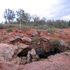
Cueva de Montesinos
30.3 km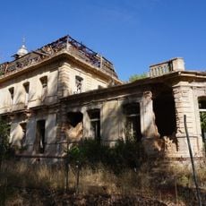
Palacio de los Gosálvez
45.7 km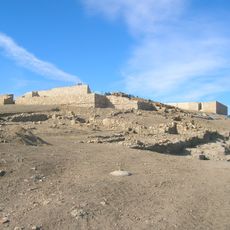
Libisosa
15.5 km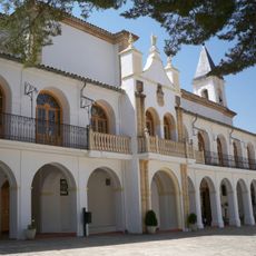
Santuario de Cortes
38.4 km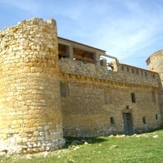
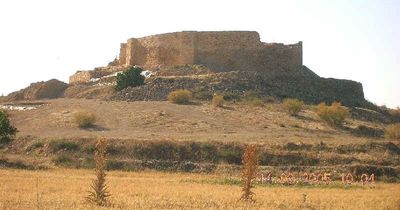
Castillo de Santiago de la Torre
44.7 km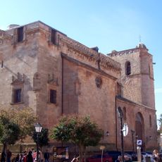
Church of Santiago Apóstol, San Clemente
40.9 km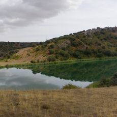
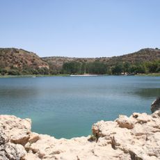
Laguna del Arquillo
33.6 km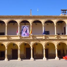
Council House of Villarrobledo
27.2 km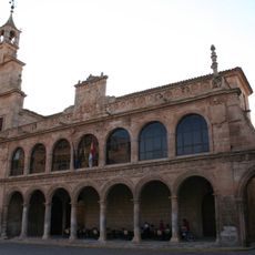
Former town hall of San Clemente, Cuenca
40.9 km
Museo Torre del Vino
38.3 km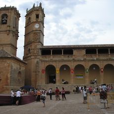
Monumental Square
41.7 km
Church of Santa María Magdalena
24.2 km
Ermita de Nuestra Señora de la Cabeza, Pozoamargo
44.4 km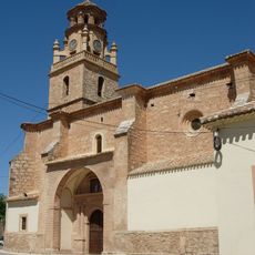
Church of San Martín
42.7 km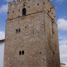
Old Tower of San Clemente, Cuenca
40.8 km
Microrreserva La Encantá
19.2 km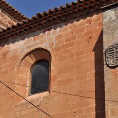
Iglesia de San Miguel (Alcaraz)
41.4 km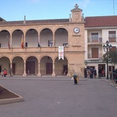
Old Square
27.1 km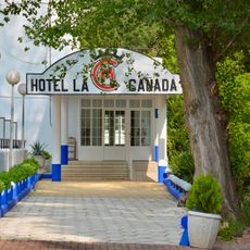
Piscina La Cañada
33.6 km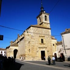
Church of La Asunción, Lezuza
15 km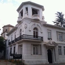
Palacio de la Condesa de Villaleal
33.5 km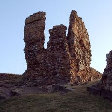
Castle of Alcaraz
41.5 km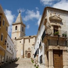
Casco Antiguo de la Villa de la Roda
33.6 km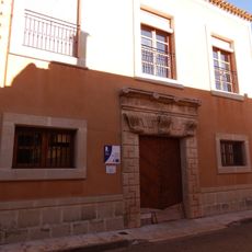
Public Library of Pozuelo, Albacete
41.8 km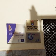
Municipal Public Library of Balazote
33.6 km
Villa de San Clemente
40.8 km
Granero de Balazote
33.6 kmReviews
Visited this place? Tap the stars to rate it and share your experience / photos with the community! Try now! You can cancel it anytime.
Discover hidden gems everywhere you go!
From secret cafés to breathtaking viewpoints, skip the crowded tourist spots and find places that match your style. Our app makes it easy with voice search, smart filtering, route optimization, and insider tips from travelers worldwide. Download now for the complete mobile experience.

A unique approach to discovering new places❞
— Le Figaro
All the places worth exploring❞
— France Info
A tailor-made excursion in just a few clicks❞
— 20 Minutes