
La Canyada, municipality of Spain
Location: Alt Vinalopó
Capital city: Cañada
Elevation above the sea: 558 m
Part of: Mancomunidad de Servicios Beneixama, Campo de Mirra y Cañada
Shares border with: Biar, El Camp de Mirra, Villena
Website: http://canyada.es
GPS coordinates: 38.67500,-0.81028
Latest update: March 13, 2025 21:31
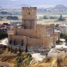
Atalaya Castle
6.5 km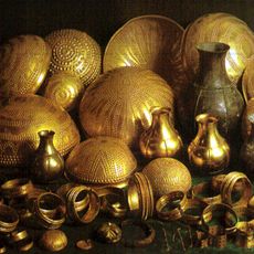
Treasure of Villena
2.9 km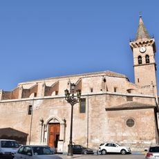
Iglesia Arciprestal de Santiago
6.7 km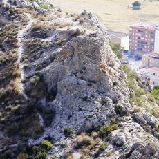
Castillo de Salvatierra
5.8 km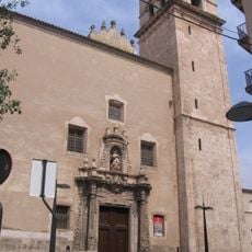
Church of Santa María
6.7 km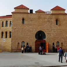
Bullring of Villena
6.4 km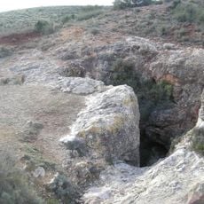
Minica de los Colores
5 km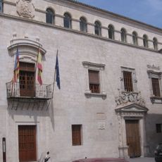
Palacio Municipal de Villena
6.7 km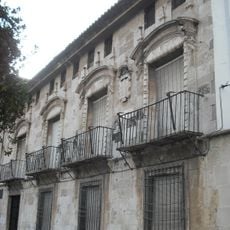
Conjunto histórico-artístico (Villena)
6.6 km
Paraje de Las Cruces (Villena)
6 km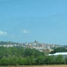
Valle de Biar
5.3 km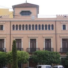
Museo Festero
6.7 km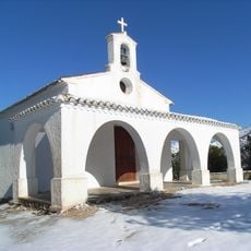
Hermitage of Saint Isidro
5.7 km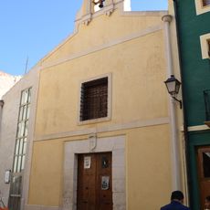
Ermita de San Antón
6.6 km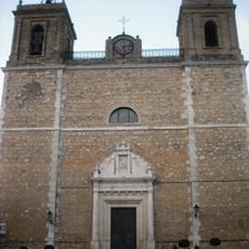
Church of Saint John the Baptist
5 km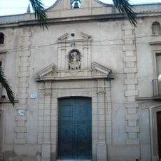
Chapel of La Divina Aurora, Beneixama
4.7 km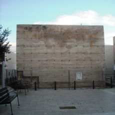
Torre Talaia de Beneixama
4.9 km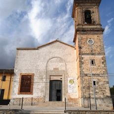
Church of Saint Bartholomew, El Camp de Mirra
3 km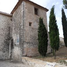
Castle of Almizra
2.4 km
Torre del Conjurador
2.4 km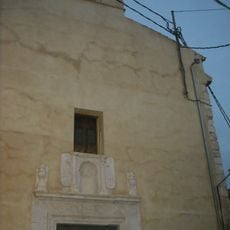
Chapel of Saint Joseph
6.6 km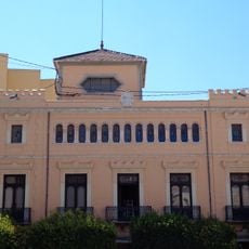
Casa del Festero
6.7 km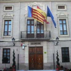
Town Hall of Beneixama
4.7 km
Chapel of the Crosses
6 km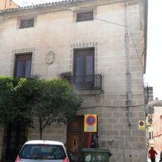
Edificio de viviendas, actual Cruz Roja
6.7 km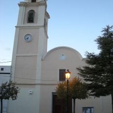
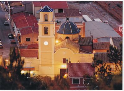
Església de Sant Cristòfol de la Canyada
51 m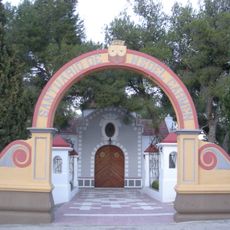
Ermita de Nuestra Señora del Carmen
301 m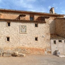
Ermita de Sant Bartomeu del Camp de Mirra
2.4 kmVisited this place? Tap the stars to rate it and share your experience / photos with the community! Try now! You can cancel it anytime.
Discover hidden gems everywhere you go!
From secret cafés to breathtaking viewpoints, skip the crowded tourist spots and find places that match your style. Our app makes it easy with voice search, smart filtering, route optimization, and insider tips from travelers worldwide. Download now for the complete mobile experience.

A unique approach to discovering new places❞
— Le Figaro
All the places worth exploring❞
— France Info
A tailor-made excursion in just a few clicks❞
— 20 Minutes