
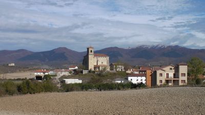
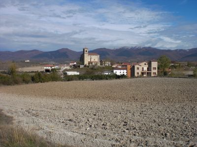
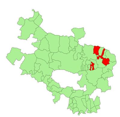
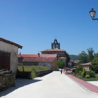
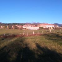
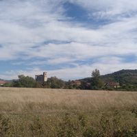
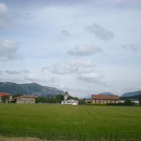
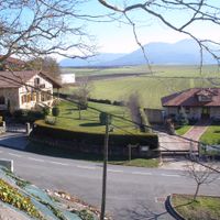
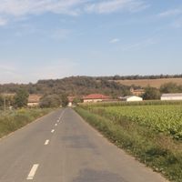
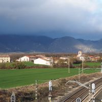
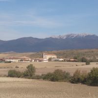
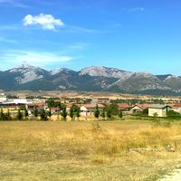
San Millán-Donemiliaga, municipality of Spain
Location: Cuadrilla de Salvatierra-Arabako Lautadako kuadrilla
Inception: 1360
Capital city: San Millán-Donemiliaga
Elevation above the sea: 594 m
Shares border with: Alegría/Dulantzi, Agurain/Salvatierra, Barrundia, Asparrena, Zalduondo, Oñati, Iruraiz-Gauna, Arraia-Maeztu
GPS coordinates: 42.87472,-2.37611
Latest update: May 25, 2025 19:49
Aizkorri
9.5 km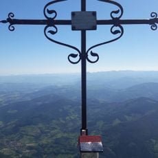
Aitxuri
9.7 km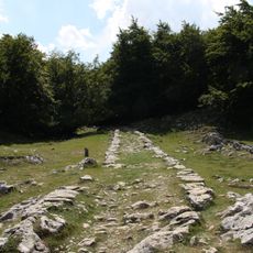
San Adrian
8.4 km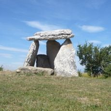
Sorginetxe
5 km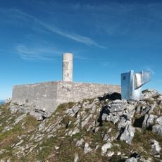
Aketegi erpina
10 km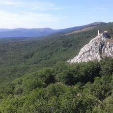
Castle of Marutegi
5.7 km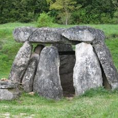
Aizkomendi
3.6 km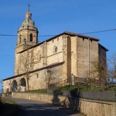
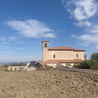
Iglesia de San Juan Bautista
9.1 km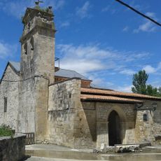
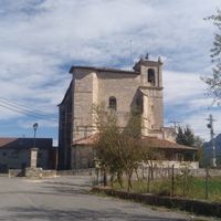
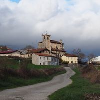
Church of Asunción
6.5 km
Monastery of Santa María, Barria
6.6 km
Church of San Martín de Tours, Gazeo
5.2 km
Casa Azkarraga
2.6 km
Church of San Juan
2.9 km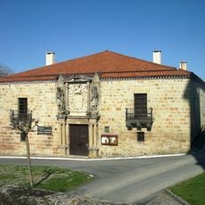
Lazarraga Palace
2.7 km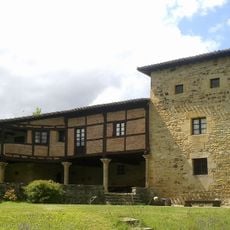
Lazarraga Tower
8.4 km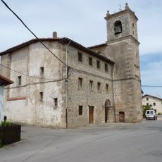
Saint Roman church
6.9 km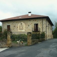
Andoin-Luzuriaga Palace
2.5 km
Church of Santa María
2.5 km
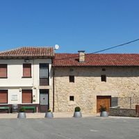
Casa Begoña
2.8 km
Ermita De San Adrian
8.4 km
Aizkorriko galtzada
8.3 km
Town hall of Zalduondo
2.6 km
Menhir de Zorrotzarri
9.2 km
San Román
6.7 km
Olbeak of Salvatierra-Agurain
3 km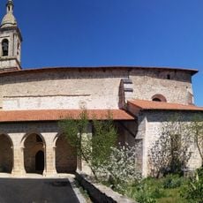
Iglesia de San Bartolomé
9.8 km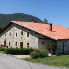
Casa San Martin 1
9.5 km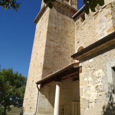
Church of Erdoña
139 mReviews
Visited this place? Tap the stars to rate it and share your experience / photos with the community! Try now! You can cancel it anytime.
Discover hidden gems everywhere you go!
From secret cafés to breathtaking viewpoints, skip the crowded tourist spots and find places that match your style. Our app makes it easy with voice search, smart filtering, route optimization, and insider tips from travelers worldwide. Download now for the complete mobile experience.

A unique approach to discovering new places❞
— Le Figaro
All the places worth exploring❞
— France Info
A tailor-made excursion in just a few clicks❞
— 20 Minutes