
Sigüeiro Bridge, bridge over Tambre river linking the municipalities of Santiago de Compostela and Oroso
Location: Santiago de Compostela
Location: Oroso
Part of: Way of Saint James in the province of A Coruña
GPS coordinates: 42.96581,-8.44559
Latest update: March 3, 2025 02:33

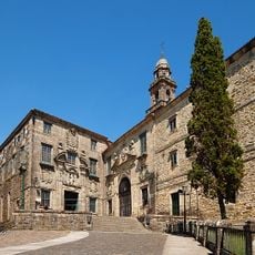
Convent of San Domingos de Bonaval
12 km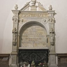
Panteón de Galegos Ilustres
12 km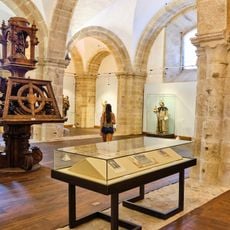
Museo del Pueblo Gallego
12 km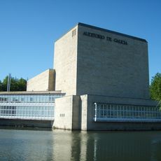
Auditorio de Galicia
11.7 km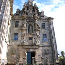
Convento de Santa Clara de Santiago de Compostela
11.8 km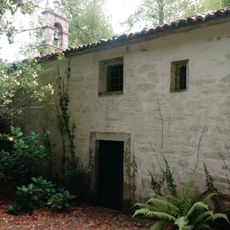
Pazo do Picón
10.4 km
Contemporary Art Center of Galicia
12 km
Museo Pedagóxico de Galicia
10.4 km
Jardín Botánico de la Universidad de Santiago de Compostela
11.6 km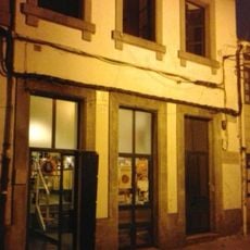
Gentalha do Pichel
11.9 km
CPI Camiño de Santiago
9.1 km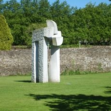
Dolmen New Millennium
11.8 km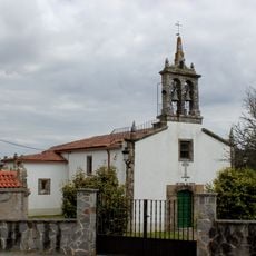
Church of San Miguel de Pereira
9.1 km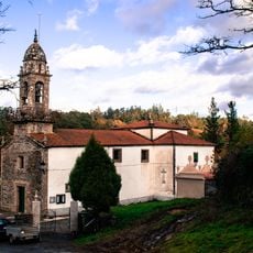
Church of Santa María de Gonzar, O Pino
11.5 km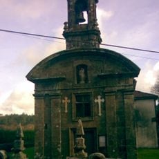
Church of Saint Mary
10 km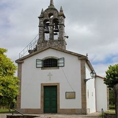
Church of Saint Christine
3.2 km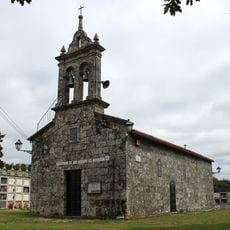
Church of Saint Vicent, Marantes
1.8 km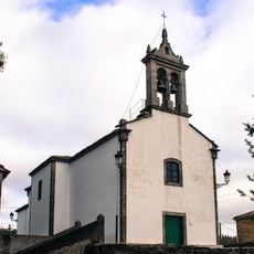
Church of San Vicenzo do Pino
9.6 km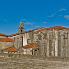
Church of Saint Dominic of Bonaval
12 km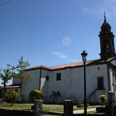
Church of Santaia de Arca
9.8 km
Monument to the pilgrim
9.9 km
Hórreo y crucero
9.8 km
Biblioteca Pública Municipal de Oroso
492 m
Wayside crosses in Pereira
9 km
Garden of Pazo do Picón
10.4 km
Wayside cross in Gonzar
11.5 km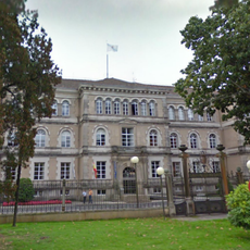
Edificio Administrativo de San Caetano
11.2 km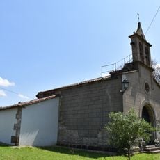
Chapel of Our Lady of Sorrows, Agualada
3.7 kmReviews
Visited this place? Tap the stars to rate it and share your experience / photos with the community! Try now! You can cancel it anytime.
Discover hidden gems everywhere you go!
From secret cafés to breathtaking viewpoints, skip the crowded tourist spots and find places that match your style. Our app makes it easy with voice search, smart filtering, route optimization, and insider tips from travelers worldwide. Download now for the complete mobile experience.

A unique approach to discovering new places❞
— Le Figaro
All the places worth exploring❞
— France Info
A tailor-made excursion in just a few clicks❞
— 20 Minutes