Centro Histórico de Iznatoraf, Historic district in Iznatoraf, Spain.
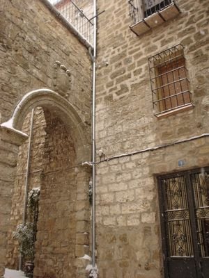
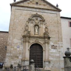
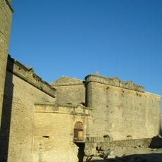
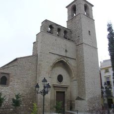
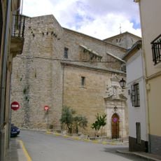
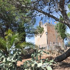
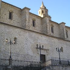
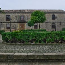
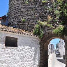
Centro Histórico de Iznatoraf is a medieval town core sitting on a hilltop and surrounded by ancient walls, containing traditional houses and narrow cobbled streets. The settlement spans the walled area and an adjoining historic suburb connected through an old gateway.
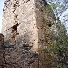
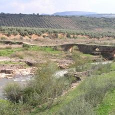
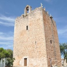
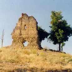
The settlement began in the Bronze Age near a natural spring and later developed into a fortified position during Roman times. The Arab period left substantial marks on the urban structure before the area underwent further transformation under European influence.
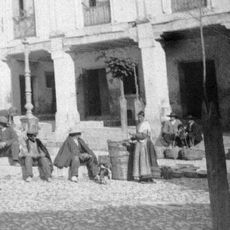
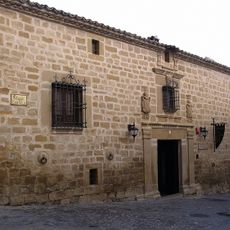
The district shows its Arab period heritage through winding streets along the old walls and buildings spanning multiple centuries. Walking through these passages reveals how different generations left their mark on the urban form.
The site sits on a hillside with steep streets, so sturdy footwear and some physical effort are needed for exploring. Best understanding of the layout comes from unhurried walking and observing the buildings and street patterns from various vantage points.
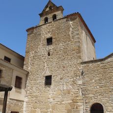
Archaeological findings in the main square reveal remains of fortified settlements from the early medieval period. These discoveries help explain the site's importance for military and administrative control of the region.
Location: Iznatoraf
GPS coordinates: 38.15778,-3.03222
Latest update: December 14, 2025 18:46
Convento de Carmelitas Descalzas de San José del Salvador
16.4 km
Castle of Sabiote
25.6 km
Church of San Juan Bautista, Jaén
25.1 km
Castillo de Bujaraiza
21.4 km
Puente Mocho
14.9 km
Embalse del Aguascebas
14.6 km
Iglesia de San Andrés, Villanueva del Arzobispo
2.2 km
Villanueva del Arzobispo's bullring
2.2 km
Ex-colegiata de Santiago, Castellar
13.8 km
Castillo de Sorihuela
9.4 km
Jueves
16.2 km
Monasterio de Santa Ana
2.1 km
Casa Palacio de la calle Ministro Benavides (Villacarrillo)
6.7 km
Torre del Campanario de la Iglesia
15.6 km
Torreón con espadaña
9.4 km
Muralla urbana
25.8 km
Iglesia de la Asunción de Nuestra Señora (Villacarrillo)
6.7 km
Castillo de Nubla
22.5 km
Casa Palacio de Las Manillas
25.7 km
Biblioteca Pública Municipal de Villacarrillo - Francisco Tudela
6.6 km
Plaza de toros de Villacarrillo
6.3 km
Paisaje de Chiclana de Segura
17.3 km
Centro Histórico de Sabiote
25.6 km
Casa Palacio de los Messía
25.7 km
Casa Palacio de los Teruel
25.8 km
Casa Palacio de los Mendoza
25.7 km
Arco de la Alegría
26 km
Embalse del Guadalmena
25.4 kmVisited this place? Tap the stars to rate it and share your experience / photos with the community! Try now! You can cancel it anytime.
Discover hidden gems everywhere you go!
From secret cafés to breathtaking viewpoints, skip the crowded tourist spots and find places that match your style. Our app makes it easy with voice search, smart filtering, route optimization, and insider tips from travelers worldwide. Download now for the complete mobile experience.
A unique approach to discovering new places❞
— Le Figaro
All the places worth exploring❞
— France Info
A tailor-made excursion in just a few clicks❞
— 20 Minutes