
Baínte, lugar de la parroquia de Villamarín, concello de Vilamarín, provincia de Orense, España
Location: Vilamarín, Vilamarín
Elevation above the sea: 653 m
GPS coordinates: 42.50453,-7.88836
Latest update: June 12, 2025 14:14
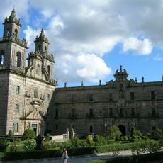
Monastery of Santa María la Real of Oseira
6.4 km
Templo de Vera Cruz
17.4 km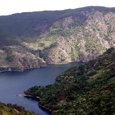
Os Peares reservoir
14.2 km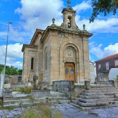
Iglesia de San Lázaro
17 km
Church of Santa Teresita, Ourense
16.7 km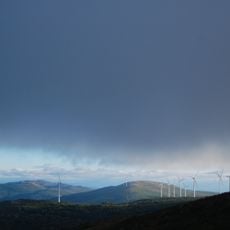
Monte Faro
13 km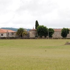
Pazo de Fontefiz
9.5 km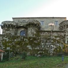
Castillo de Villamarín
6.1 km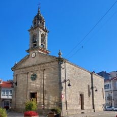
Church of Santa Mariña de Chantada
15.1 km
Termas da Chavasqueira
17.6 km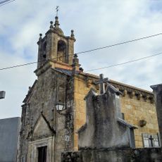
Church of Santa María de Reza
17.3 km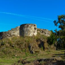
Castle of A Peroxa
11.4 km
Igrexa de San Pedro de Vilanova de Dozón
14.3 km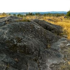
O Chan da Ferradura
16 km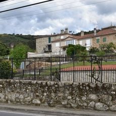
Pazo de Velle
16.4 km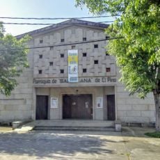
Parroquia de Santa Ana de El Pino
16.6 km
Mosteiro de Santo Estevo de Atán
15.2 km
Tower of Quitapesares
16.9 km
Monastery of San Vicenzo de Pombeiro
16.5 km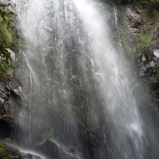
Fervenza de Augacaída
14.5 km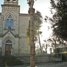
Church of San Tomé o Novo de Maside
15.3 km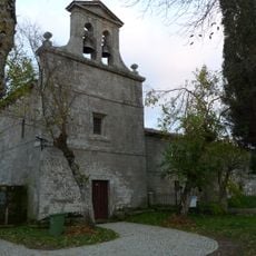
Monastery of San Salvador de Asma
14.9 km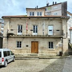
Town Hall of Chantada
15.1 km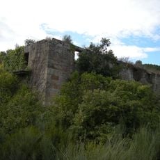
Monastery of Santa Comba de Naves
17.2 km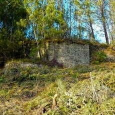
Castro of O Coto de Mosteiro
14.3 km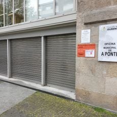
Biblioteca Pública Municipal de A Ponte
17.6 km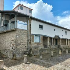
Biblioteca Pública Municipal de Chantada Xoan de Requeixo
15.1 km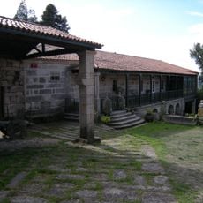
Casa grande de Cima de Vila
17.3 kmReviews
Visited this place? Tap the stars to rate it and share your experience / photos with the community! Try now! You can cancel it anytime.
Discover hidden gems everywhere you go!
From secret cafés to breathtaking viewpoints, skip the crowded tourist spots and find places that match your style. Our app makes it easy with voice search, smart filtering, route optimization, and insider tips from travelers worldwide. Download now for the complete mobile experience.

A unique approach to discovering new places❞
— Le Figaro
All the places worth exploring❞
— France Info
A tailor-made excursion in just a few clicks❞
— 20 Minutes