
Water well in Töllinmäki
Water well in Töllinmäki, water well in Hämeenkyrö, Finland
Location: Hämeenkyrö
Part of: Töllinmäki
GPS coordinates: 61.59721,23.19373
Latest update: March 9, 2025 18:37
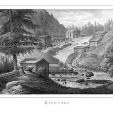
Kyröskoski
8.1 km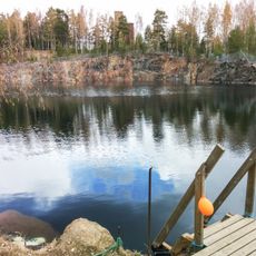
Haveri mine
12.9 km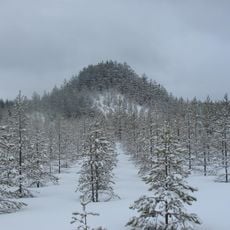
Tree Mountain
15.3 km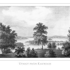
Kauniais Manor
13.8 km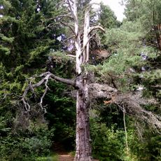
티미의 소나무
6.4 km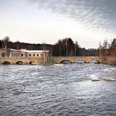
Siuronkoski
15.4 km
Knuutilan kartano
16.6 km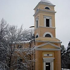
Nokia Church
22.2 km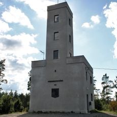
Mannanmäki observation tower
10.8 km
Pirunpesä, Nokia
18.8 km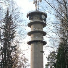
Soppeenmäki TV mast
22.3 km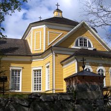
Ylöjärvi Church
21.6 km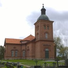
Mouhijärvi Church
13.6 km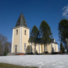
Hämeenkyrö church
4.3 km
Jumesniemi Church School
7.5 km
Nokiastenen
21.9 km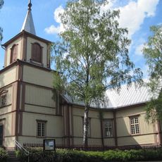
Suoniemi church
17.4 km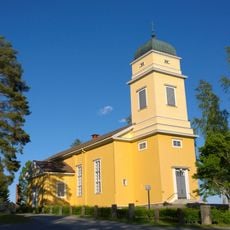
Viljakkala Church
13 km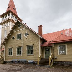
Siuro Church
15.6 km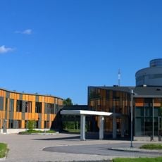
Koulutuskeskus Valo
21.4 km
Pinsiö church
13.5 km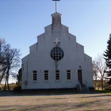
Luhalahti Church
20.3 km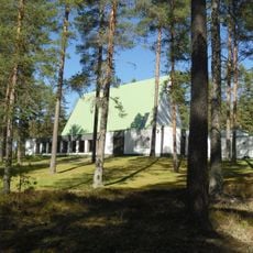
Mäntyrinne chapel
7.7 km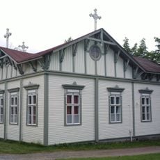
Ikaalisten vapaakirkko
20.8 km
The old cemetery chapel
3.9 km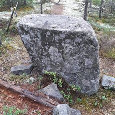
Pakkokivi
19.2 km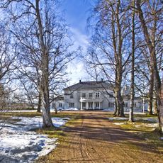
Kuljun kartano
14.6 km
Kirkkokivi (bato sa Finlandia, Pirkanmaa, Lounais-Pirkanmaa, lat 61,47, long 23,06)
15.5 kmReviews
Visited this place? Tap the stars to rate it and share your experience / photos with the community! Try now! You can cancel it anytime.
Discover hidden gems everywhere you go!
From secret cafés to breathtaking viewpoints, skip the crowded tourist spots and find places that match your style. Our app makes it easy with voice search, smart filtering, route optimization, and insider tips from travelers worldwide. Download now for the complete mobile experience.

A unique approach to discovering new places❞
— Le Figaro
All the places worth exploring❞
— France Info
A tailor-made excursion in just a few clicks❞
— 20 Minutes