Plateau de Saclay, Geographic plateau in Saclay, France
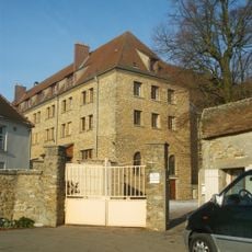
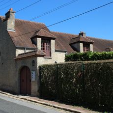
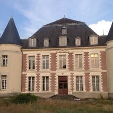
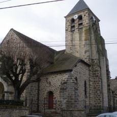
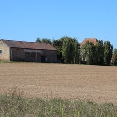
Plateau de Saclay is a raised landform situated between the Yvette and Bièvre river valleys, located southwest of Paris. The terrain features a mix of open fields, research parks, and institutional grounds spread across gently undulating countryside.
The plateau was shaped starting in the 17th century by a network of channels and ponds built under King Louis XIV to direct water toward Versailles Castle. This water system became a defining feature of the land and influenced how the area developed over subsequent centuries.
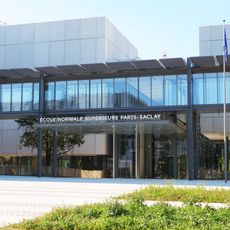
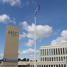
Paris-Saclay University, École Polytechnique, and numerous research centers form an educational cluster that brings together students and scientists from multiple disciplines.
The area is best explored on foot or by bicycle, with pathways connecting through fields and research facilities across the plateau. Public transportation is being expanded to link the main sites and nearby towns more directly.
Below the surface lie remains of Iron Age settlements, including Gallic villages and Roman structures uncovered during archaeological digs. These findings reveal that people inhabited and used this plateau for over a thousand years.
The community of curious travelers
AroundUs brings together thousands of curated places, local tips, and hidden gems, enriched daily by 60,000 contributors worldwide.