Sartène, Administrative division in Corsica, France
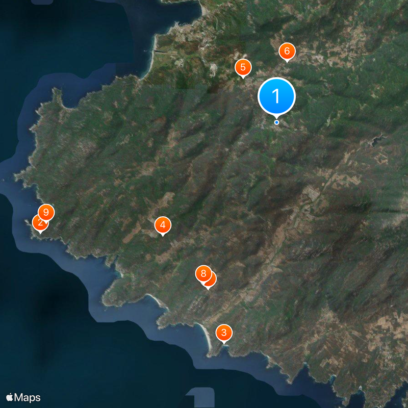
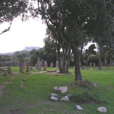
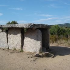
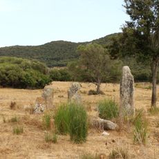
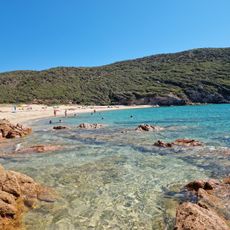
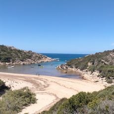
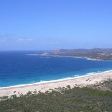
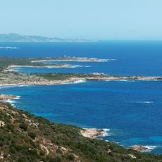
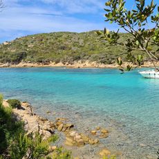
Sartène is a subprefecture in southern Corsica with an administrative area encompassing several villages. The territory comprises various communes and unites a diverse Mediterranean landscape spanning coastal zones and mountainous interior.
The area received its administrative status in 1800 and subsequently underwent several reorganizations under different department structures. Its present form in southern Corsica was shaped by these administrative changes across two centuries.
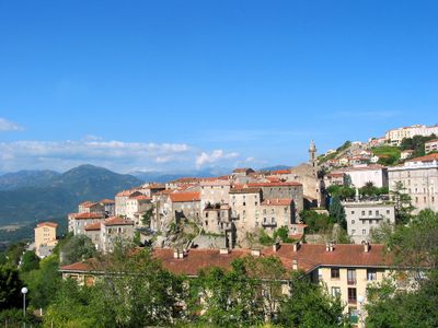
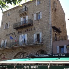
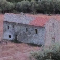
The town of Sartène shapes the area with its substantial granite buildings from the 16th century, which still define the streetscape today. These sturdy structures reflect traditional Corsican construction methods and give the place its characteristic, fortified appearance.
The area sits in a region with moderate population density and offers visitors straightforward access to routes across various communes. Most sites are reachable by car, though the winding Corsican roads require driving that takes some extra time.
The area underwent a significant boundary change in 2017 when one of its communes transferred to a neighboring administrative division. This relatively recent administrative shift shows how Corsican administrative structures continue to evolve even in modern times.
Location: canton of Sartène
Location: Corse-du-Sud
Location: arrondissement of Sartène
Elevation above the sea: 194 m
Shares border with: Arbellara, Belvédère-Campomoro, Bilia, Foce, Giuncheto, Granace, Grossa, Levie, Monacia-d'Aullène, Olmiccia, Pianottoli-Caldarello, Propriano, Viggianello
Address: 20100 Sartène, France
Phone: +33495777400
Email: communication@sartene.corsica
Website: https://lapagelocale.fr/20100-sartene
GPS coordinates: 41.62083,8.97361
Latest update: December 13, 2025 00:01
Senetosa lighthouse
16.5 km
Plage de Roccapina
14.3 km
Paddaghju
10.1 km
U Frate è a Sora
3.6 km
Pont Spin'à Cavallu
3.9 km
Rinaghju
11.3 km
Funtanaccia
11.2 km
Torra di Senetosa
15.9 km
Fontanaccia dolmen
11.2 km
Apazzu
11.9 km
Plage de Tizzano
13.7 km
Cauria
11.1 km
Stantari
11 km
Torra di Campomoru
14 km
Ortolo Reservoir
6.2 km
Torra di Roccapina
14.4 km
Bizzicu Rossu
8.2 km
Sartène Town Hall
142 m
Église San Giovanni de Grossa
6.8 km
Menhir de Capo-di-Luogo
10.9 km
Menhir de Vaccil Vecchiu
8.6 km
Roccapina Lion
14.1 km
Category:Menhir de Vaccil Vecchiu
8.6 km
A Tola
10.8 km
Cala d'Agulia
15.6 km
Tournant de l'Extrême-Sud
13.8 km
Cala di Conca
15 km
Erbaju beach
13.9 kmVisited this place? Tap the stars to rate it and share your experience / photos with the community! Try now! You can cancel it anytime.
Discover hidden gems everywhere you go!
From secret cafés to breathtaking viewpoints, skip the crowded tourist spots and find places that match your style. Our app makes it easy with voice search, smart filtering, route optimization, and insider tips from travelers worldwide. Download now for the complete mobile experience.
A unique approach to discovering new places❞
— Le Figaro
All the places worth exploring❞
— France Info
A tailor-made excursion in just a few clicks❞
— 20 Minutes