Enable Location

We need your location to show you interesting places around you

Discover nearby places

Find interesting locations and hidden gems around you

Precise directions

Get accurate directions and distances to places

Your location is never shared with other users. It's only used when you tap the location button.

Gex

Log in to your account

Start exploring — it's free

Trusted by 61,974 travelers worldwide

Continue with Google
Continue with Apple
or

We will send you a code to connect

By continuing, you accept our Terms and Conditions and our Privacy Policy

Check your inbox

We've sent a pincode in your inbox. Please enter the code below.

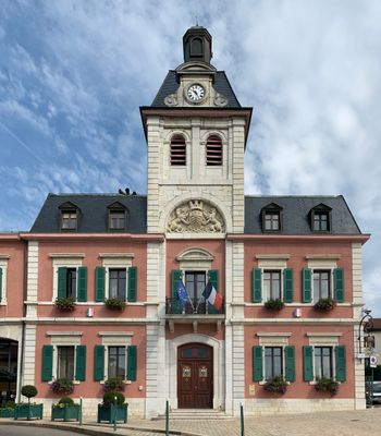
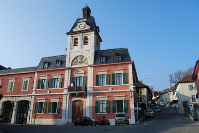
Gex, Administrative center in Auvergne-Rhône-Alpes region, France

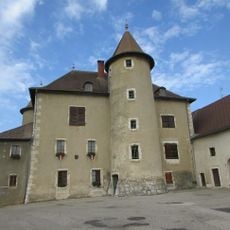
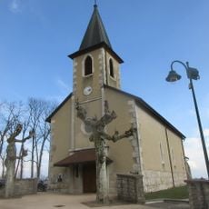
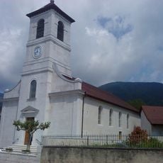
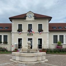
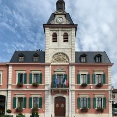
Gex is an administrative center in the Ain department in northeastern France near the Swiss border. Situated at about 532 meters elevation, the town serves as a subprefecture with schools, shops, and public services that make it an important local hub.

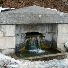
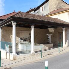
The town developed as an administrative center over the centuries and retained its importance in the region. The 18th-century fountain ensemble called Les Quatre Goulettes was recognized as a historical monument in 1929, showing the town's architectural heritage.

The Bird Festival, dating from medieval times, continues as a central community celebration with competitions and local gatherings throughout the year.

The town has sports facilities including a heated swimming pool open year-round, along with fields for football and rugby. Visitors will find good local amenities with shops and restaurants accessible throughout the year.

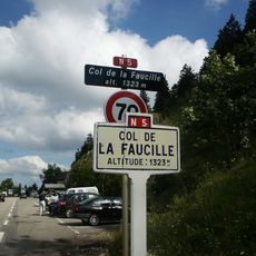
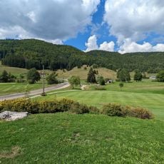
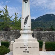
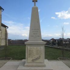
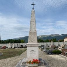
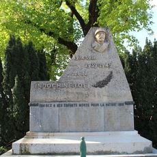
Two cenotaphs honor racing drivers who died during automobile competitions on the surrounding mountain roads. These memorials tell the story of the region's motorsport history and the dangers of early car racing in this mountainous terrain.

The community of curious travelers

AroundUs brings together thousands of curated places, local tips, and hidden gems, enriched daily by 60,000 contributors worldwide.

Start exploring
Location
Ain
Inception
July 11, 1910
Elevation above the sea
921 m
Shares border with
Cessy, Échenevex, Grilly, Mijoux, Vesancy
Phone
Website
GPS coordinates
46.33333,6.05778
Latest update
December 19, 2025 22:25
« Gex - Administrative center in Auvergne-Rhône-Alpes region, France » is provided by Around Us (aroundus.com). Images and texts are derived from Wikimedia project under a Creative Commons license. You are allowed to copy, distribute, and modify copies of this page, under the conditions set by the license, as long as this note is clearly visible.

Discover hidden gems everywhere you go!

From secret cafés to breathtaking viewpoints, skip the crowded tourist spots and find places that match your style. Our app makes it easy with voice search, smart filtering, route optimization, and insider tips from travelers worldwide. Download now for the complete mobile experience.

Around Us App Screenshot

A unique approach to discovering new places

Le Figaro

All the places worth exploring

France Info

A tailor-made excursion in just a few clicks

20 Minutes

Around Us
Travel Guide & Maps
Download

Send to your phone

QR Code
1

Open the camera app on your mobile.

2

Point at the QR code with your camera. A notification will appear.

3

Tap the notification to open the link.