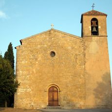
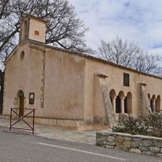
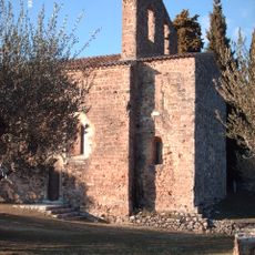
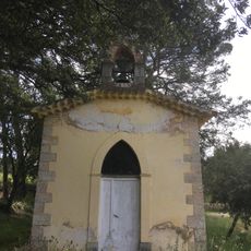
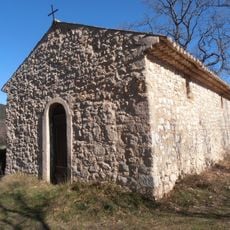
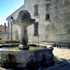
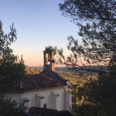
Tourtour, commune in Var, France
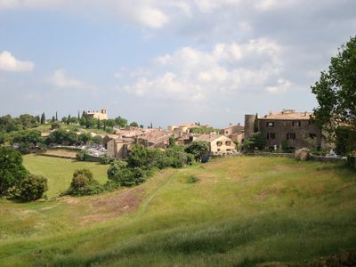
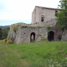
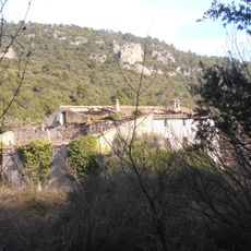
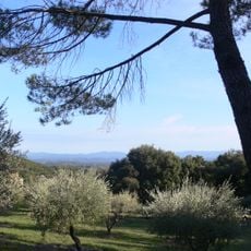
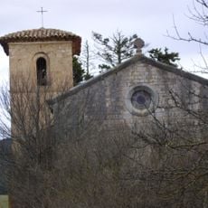
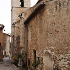
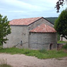
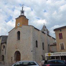
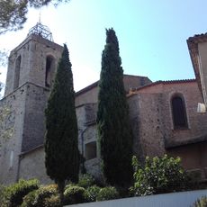
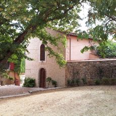
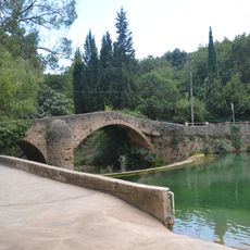
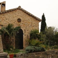
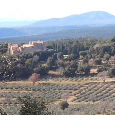
Tourtour is a commune in the Provence-Alpes-Côte d'Azur region in southern France. It sits on a hillside and contains a small village with traditional stone buildings surrounded by open countryside with fields and forests.
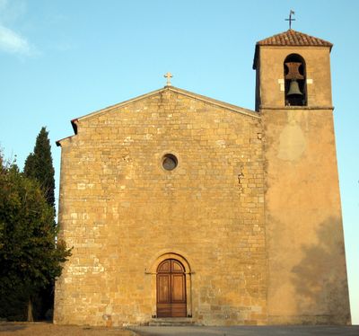
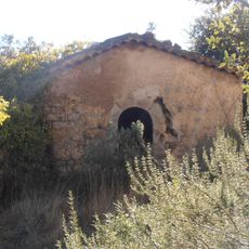
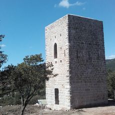
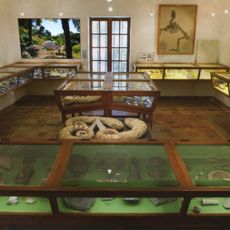
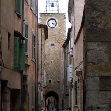
The village has medieval origins when the area was controlled by local lords. Over centuries it remained a small settlement that maintained the rural character typical of Provençal villages.
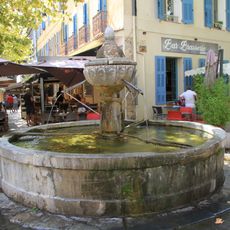
The village is best explored on foot as the streets are narrow and steep. Limited parking is available at the village edge, and visitors should expect hilly terrain throughout.
The community of curious travelers
AroundUs brings together thousands of curated places, local tips, and hidden gems, enriched daily by 60,000 contributors worldwide.