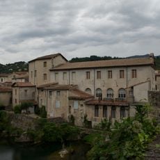
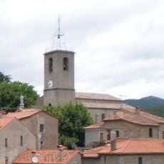
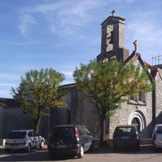
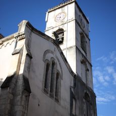
Roquedur, Rural commune in Gard department, Occitanie region, France.
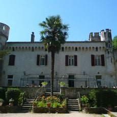
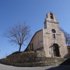
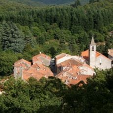
Roquedur is a small mountainous commune situated at an elevation of 407 meters in the Gard department of southern France, covering approximately 11 square kilometers with a population of around 265 inhabitants.
The commune experienced significant population fluctuations throughout the 20th century, with recorded figures of 99 inhabitants in 1969 rising to 265 by 2022, reflecting gradual demographic recovery in recent decades.
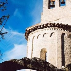
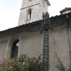
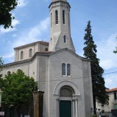
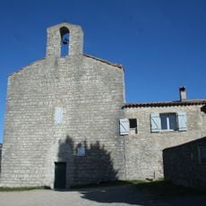
Roquedur maintains strong connections to Occitan heritage, with its name appearing as Ròcadun in the regional language, and local traditions include festivals celebrating regional customs and agricultural practices typical of the Cévennes area.
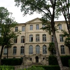
The commune is administered from Place de la Mairie and uses postal code 30440, with residents accessing additional services in nearby Le Vigan and benefiting from regional transportation networks connecting to Montpellier.
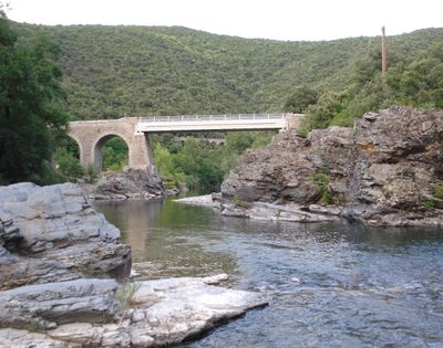
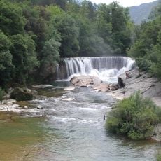
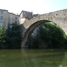
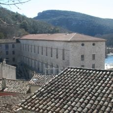
The village serves as a gateway to diverse landscapes ranging from 165 to 710 meters elevation, offering residents and visitors access to varied terrain within a compact 11-square-kilometer area that encompasses forests, hills, and rural farmland.
Location: canton of Sumène
Location: Gard
Location: arrondissement of Le Vigan
Elevation above the sea: 407 m
Shares border with: Saint-André-de-Majencoules, Saint-Bresson, Saint-Julien-de-la-Nef, Sumène, Le Vigan
Address: 30440 Roquedur, France
Phone: +33467824596
Email: roquedur@wanadoo.fr
GPS coordinates: 43.97583,3.67556
Latest update: August 10, 2025 12:05
Cascade de la Vis
5.8 km
Château de Montdardier
8.5 km
Château de Laroque
7.1 km
Château de Saint-Laurent-le-Minier
5 km
Pic d'Anjeau
7.5 km
Cow cave
8 km
Musée cévenol
5.7 km
Arboretum de Puéchagut
8.5 km
Château d'Assas
5.9 km
Chapelle St-Jean de Laroque
7.1 km
Château d'Isis
2.5 km
Vieux pont du Vigan
5.7 km
Ranc de Bane
4.5 km
Couvent des Capucins du Vigan
5.7 km
Église Sainte-Marie Notre-Dame de Sumène
3.1 km
Église Saint-Martin d'Aulas
7.7 km
Souleyourt cabanes sous les arbres
7.2 km
Église Saint-Pierre-et-Saint-Paul de Ganges
5.4 km
Église Sainte-Marie-Madeleine de Laroque
7 km
Église Saint-Brice de Saint-Bresson
3.4 km
Église Saint-André de Saint-André-de-Majencoules
5.8 km
Église Saint-Grégoire-et-Notre-Dame de Beaulieu
6.4 km
Golf de Cazilhac
6.5 km
Église Saint-Léonce du Bas
6.8 km
Église Saint-Pierre du Vigan
5.9 km
Temple de l'église protestante unie de France de Ganges
5.2 km
Fabrique de chaux de Laroque
6.8 km
Église de Saint-Jean-Baptiste de Moulès-et-Baucels
7.2 kmReviews
Visited this place? Tap the stars to rate it and share your experience / photos with the community! Try now! You can cancel it anytime.
Discover hidden gems everywhere you go!
From secret cafés to breathtaking viewpoints, skip the crowded tourist spots and find places that match your style. Our app makes it easy with voice search, smart filtering, route optimization, and insider tips from travelers worldwide. Download now for the complete mobile experience.
A unique approach to discovering new places❞
— Le Figaro
All the places worth exploring❞
— France Info
A tailor-made excursion in just a few clicks❞
— 20 Minutes