Enable Location

We need your location to show you interesting places around you

Discover nearby places

Find interesting locations and hidden gems around you

Precise directions

Get accurate directions and distances to places

Your location is never shared with other users. It's only used when you tap the location button.

Vars

Log in to your account

Start exploring — it's free

Trusted by 63,118 travelers worldwide

Continue with Google
Continue with Apple
or

We will send you a code to connect

By continuing, you accept our Terms and Conditions and our Privacy Policy

Check your inbox

We've sent a pincode in your inbox. Please enter the code below.

Discussion Reviews 3 Photos 1 Collections
22.7k Popularity

Vars, Alpine commune in Hautes-Alpes, France

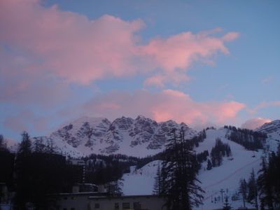
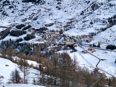
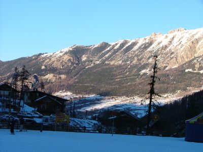
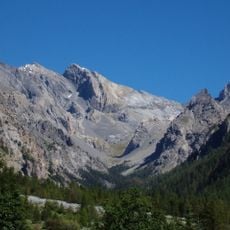
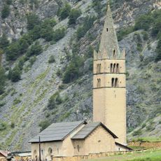
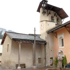
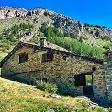
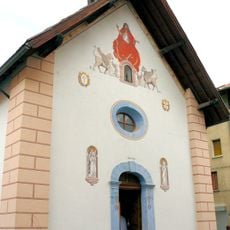
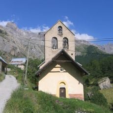
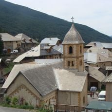
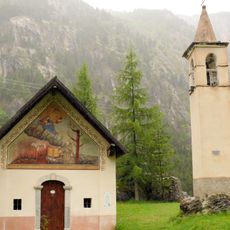
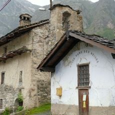
Vars is an Alpine commune in the French Alps, spreading across a large mountain area with varying elevations. The territory is divided into several hamlets, with Les Claux serving as the main ski resort center.

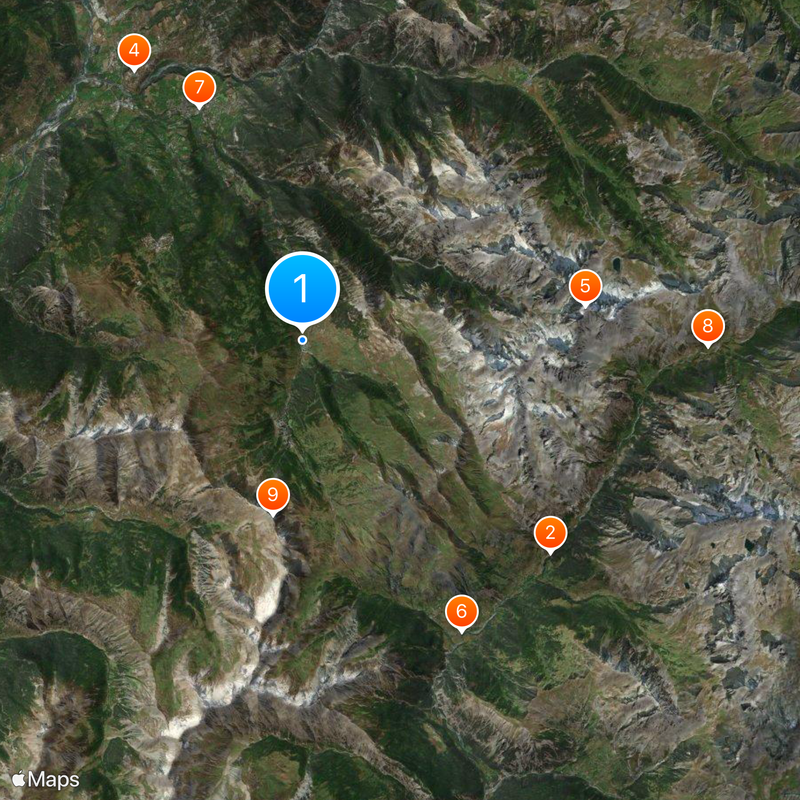
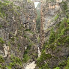
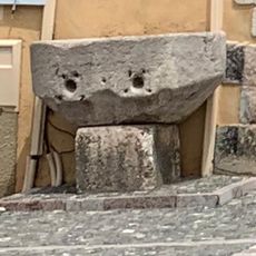
The region was settled in ancient times, with archaeological evidence of Bronze Age cultures including burial sites and artifacts. Later, the Col de Vars became an important mountain pass between France and Italy, particularly during the era of Napoleon III.

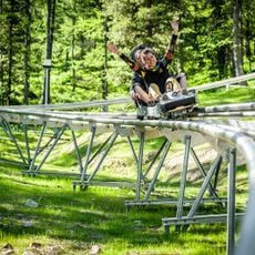
The Outdoormix Festival brings athletes and spectators together for winter and summer sports competitions. The event has established the area as a gathering place for outdoor sports enthusiasts from across Europe.

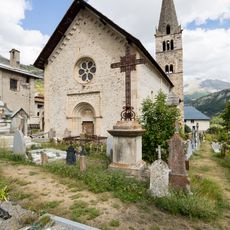
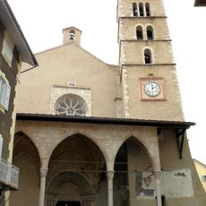
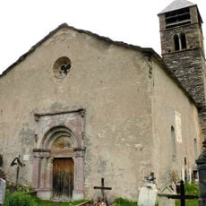
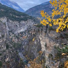
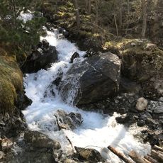
The area comprises several small settlements that are well-connected and easy to explore. The best time to visit depends on whether you prefer winter sports or summer hiking activities.

The mountain pass was so strategically important that Napoleon III built a refuge there to control this Alpine route. The structure still stands today and serves as a reminder of the area's role as a cross-border corridor.

The community of curious travelers

AroundUs brings together thousands of curated places, local tips, and hidden gems, enriched daily by 60,000 contributors worldwide.

Start exploring
Location
Elevation above the sea
2,270 m
Part of
La Forêt Blanche
Shares border with
Saint-Paul-sur-Ubaye, Ceillac, Crévoux, Guillestre, Risoul, Saint-André-d'Embrun
Phone
GPS coordinates
44.59500,6.68972
Latest update
December 20, 2025 15:38
Ski resorts in France: alpine ski areas, slopes and ski lifts

The French Alps encompass several hundred kilometers of ski slopes spread across various mountain ranges. Ski areas such as the Three Valleys, linking Courchevel, Meribel, and Val Thorens, or Paradiski, connecting La Plagne and Les Arcs, provide extensive networks suitable for both beginners and...

Reviews
Share your experience

No review yet

Discussions
Start a discussion...

No discussion yet

« Vars - Alpine commune in Hautes-Alpes, France » is provided by Around Us (aroundus.com). Images and texts are derived from Wikimedia project under a Creative Commons license. You are allowed to copy, distribute, and modify copies of this page, under the conditions set by the license, as long as this note is clearly visible.

Discover hidden gems everywhere you go!

From secret cafés to breathtaking viewpoints, skip the crowded tourist spots and find places that match your style. Our app makes it easy with voice search, smart filtering, route optimization, and insider tips from travelers worldwide. Download now for the complete mobile experience.

Around Us App Screenshot

A unique approach to discovering new places

Le Figaro

All the places worth exploring

France Info

A tailor-made excursion in just a few clicks

20 Minutes

Around Us
Travel Guide & Maps
Download

Send to your phone

QR Code
1

Open the camera app on your mobile.

2

Point at the QR code with your camera. A notification will appear.

3

Tap the notification to open the link.