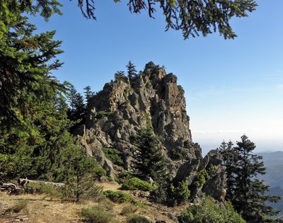
Roc Mosquit, Mountain summit in Estoher and Taurinya, France.
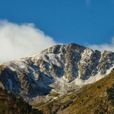
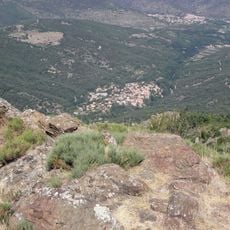
Roc Mosquit is a mountain summit in the eastern Pyrenees that rises to about 1,887 meters and forms the boundary between the municipalities of Estoher and Taurinya. The peak sits within the Canigó Massif and stands as a prominent landmark in this part of northern Catalonia.
The peak was originally known as Pic Roig before its name changed to Roc Mosquit, reflecting how local geographical names evolved over time. This shift shows how people's perception and mapping of the region transformed across generations.
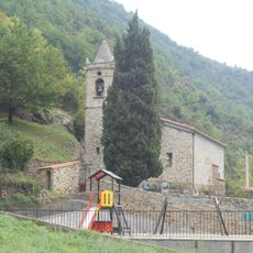
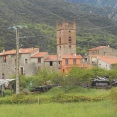
The summit sits on the boundary between two communities and serves as a reference point for hikers exploring the region. Local walking traditions connect people from both sides of this geographical divide.
Marked trails from Col de Clara lead up to the summit, guided by red-white and yellow-white blazes along the path. The route takes about eight hours and requires solid hiking experience and proper gear for mountain terrain.
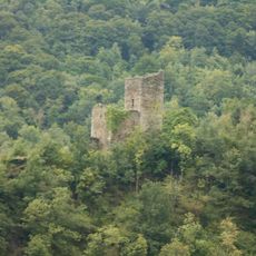
This peak connects with neighboring summits like Roc Miquelet and Pic de la Soucarrade, forming a chain of higher passes where walkers can move between them. Hikers can extend their journey by linking these peaks together rather than climbing just one in isolation.
The community of curious travelers
AroundUs brings together thousands of curated places, local tips, and hidden gems, enriched daily by 60,000 contributors worldwide.