Pic de l'Huile, Mountain summit in Savoie Propre, France.
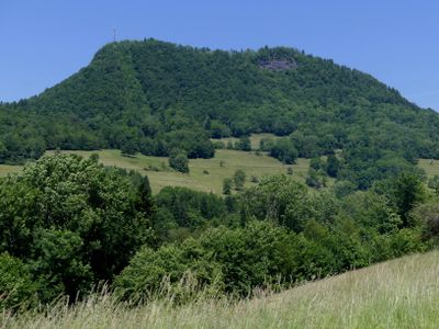
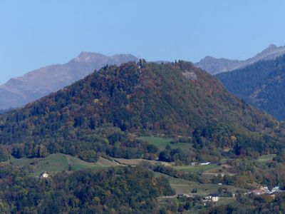
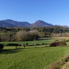
Pic de l'Huile is a mountain summit in the Belledonne range standing at 926 meters elevation. The peak sits along the edge of the Huile plateau, providing views across the surrounding valleys and peaks.
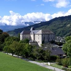
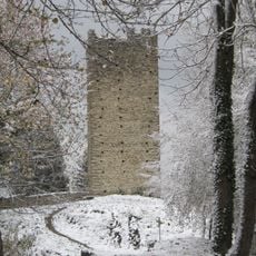
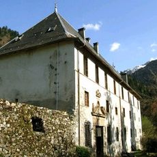
A castle was built on the promontory during the 12th century to monitor the route toward Col du Grand Cucheron. This fortification served as a strategic point for controlling regional passage.
The name comes from Savoyard dialect meaning needle, reflecting the sharp shape that marks this location. Locals have long used this term when describing the landmark to visitors.
The summit can be reached by road from La Table, accessed via departmental road 207 that connects La Rochette to Col du Grand Cucheron. This road access makes reaching the peak straightforward for visitors with vehicles.
The summit consists of limestone and marl from the Aalenian and Bajocian periods with an unusual structural form. This geological feature represents a perched syncline, a rare formation that makes the location geologically distinctive.
The community of curious travelers
AroundUs brings together thousands of curated places, local tips, and hidden gems, enriched daily by 60,000 contributors worldwide.