Enable Location

We need your location to show you interesting places around you

Discover nearby places

Find interesting locations and hidden gems around you

Precise directions

Get accurate directions and distances to places

Your location is never shared with other users. It's only used when you tap the location button.

Log in to your account

Start exploring — it's free

Trusted by 62,571 travelers worldwide

Continue with Google
Continue with Apple
or

We will send you a code to connect

By continuing, you accept our Terms and Conditions and our Privacy Policy

Check your inbox

We've sent a pincode in your inbox. Please enter the code below.

Seoni district

Seoni district, Administrative district in Jabalpur division, India.

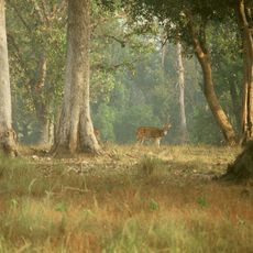
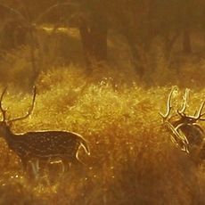
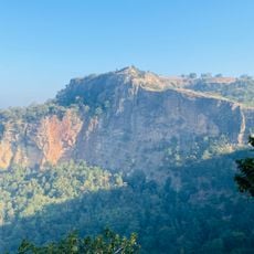
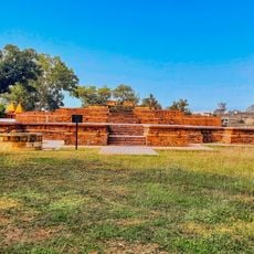
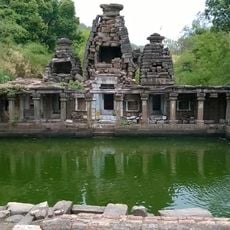
Seoni district is an administrative division in central India that encompasses forests, hills, and river valleys shaped by the Wainganga River. The terrain features diverse natural formations and wooded areas that define the region's landscape.

The district was formed in 1956 following India's reorganization of states, having previously been part of the Central Provinces under British rule. This administrative change established its current boundaries and governance structure.

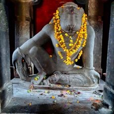
The population of Seoni district includes numerous tribal communities who maintain their traditional practices, social structures, and agricultural methods.

The district connects to major cities through National Highway 44, and Seoni Railway Station offers transportation links to the surrounding region. Travel is most comfortable during cooler months when temperatures are more pleasant.

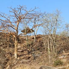
The forests here inspired Rudyard Kipling to write The Jungle Book during the 1890s, using the local landscape as the setting for his stories. The wooded terrain and wildlife provided the author with a natural backdrop for his tales.

The community of curious travelers

AroundUs brings together thousands of curated places, local tips, and hidden gems, enriched daily by 60,000 contributors worldwide.

Start exploring
Capital city
Seoni
Shares border with
Chhindwara district
GPS coordinates
22.09000,79.55000
Latest update
December 7, 2025 20:21
« Seoni district - Administrative district in Jabalpur division, India » is provided by Around Us (aroundus.com). Images and texts are derived from Wikimedia project under a Creative Commons license. You are allowed to copy, distribute, and modify copies of this page, under the conditions set by the license, as long as this note is clearly visible.

Discover hidden gems everywhere you go!

From secret cafés to breathtaking viewpoints, skip the crowded tourist spots and find places that match your style. Our app makes it easy with voice search, smart filtering, route optimization, and insider tips from travelers worldwide. Download now for the complete mobile experience.

Around Us App Screenshot

A unique approach to discovering new places

Le Figaro

All the places worth exploring

France Info

A tailor-made excursion in just a few clicks

20 Minutes

Around Us
Travel Guide & Maps
Download

Send to your phone

QR Code
1

Open the camera app on your mobile.

2

Point at the QR code with your camera. A notification will appear.

3

Tap the notification to open the link.