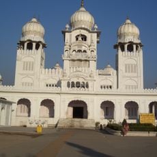
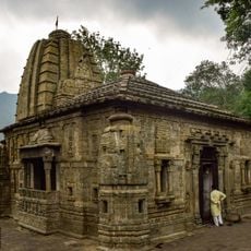
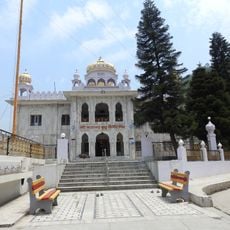
Bilaspur district, Administrative district in Himachal Pradesh, India.
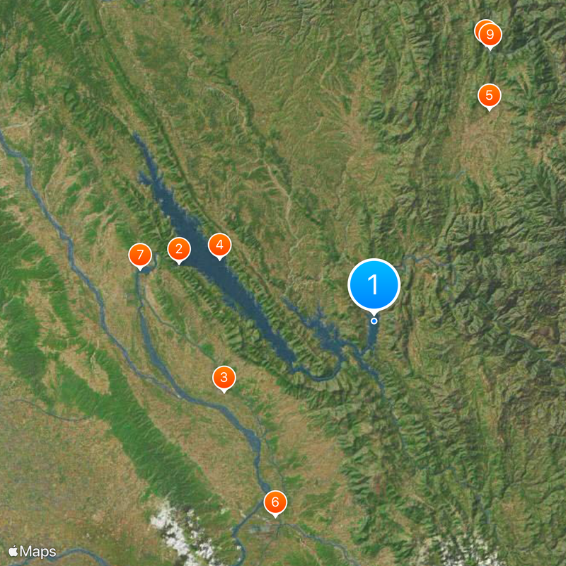
Bilaspur district covers mountainous terrain carved by the Sutlej River, which flows through valleys and forested areas creating varied landscapes. The region is characterized by steep slopes, river valleys, and dense vegetation across different elevations.
The area emerged from the former Kahlur princely state, which merged into Himachal Pradesh in 1954 following India's independence. This consolidation transformed a smaller kingdom into a district within the modern Indian state system.
The Nalwari cattle fair, held each year in spring, draws farmers and merchants who gather to buy and sell livestock while celebrating regional traditions together.
Road networks and railway lines connect the region to larger cities, offering visitors multiple transport options. Access to different areas depends on seasonal weather conditions, particularly in higher elevations where mountain passes may close temporarily.
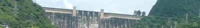
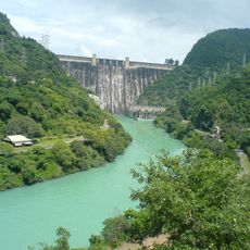
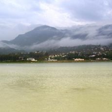
Govind Sagar Lake, created by the Bhakra Dam construction, is India's largest reservoir and spreads across the district. This massive water body transformed the local landscape and became central to the region's power generation and water management.
The community of curious travelers
AroundUs brings together thousands of curated places, local tips, and hidden gems, enriched daily by 60,000 contributors worldwide.