Enable Location

We need your location to show you interesting places around you

Discover nearby places

Find interesting locations and hidden gems around you

Precise directions

Get accurate directions and distances to places

Your location is never shared with other users. It's only used when you tap the location button.

Log in to your account

Start exploring — it's free

Trusted by 62,535 travelers worldwide

Continue with Google
Continue with Apple
or

We will send you a code to connect

By continuing, you accept our Terms and Conditions and our Privacy Policy

Check your inbox

We've sent a pincode in your inbox. Please enter the code below.

Mohanpur community development block

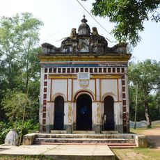
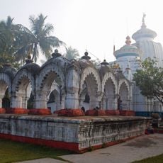
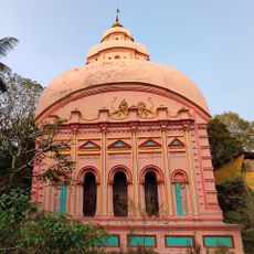
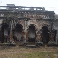
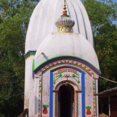
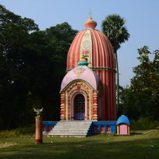
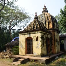
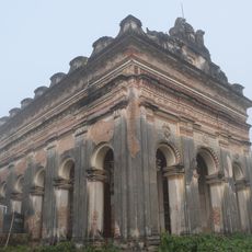
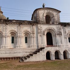
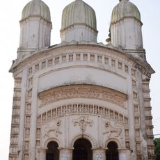
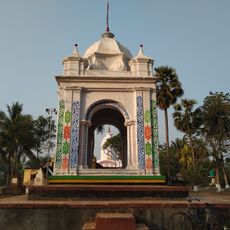
Mohanpur community development block, Community development block in Kharagpur subdivision, India.

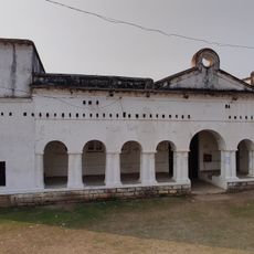
Mohanpur is an administrative block in Kharagpur subdivision covering approximately 137 square kilometers at a low elevation in West Bengal. The block comprises more than 100 villages organized through local village councils and administrative divisions that manage daily governance.

The block was created as part of India's rural development strategy through community development programs and initiatives. This administrative structure was designed to better organize and support rural areas in the region.

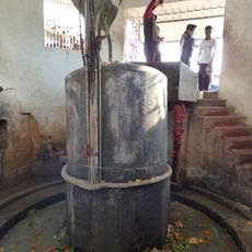
The Bengali-speaking communities here maintain traditional farming practices and languages like Odia and Santali are spoken by residents across the villages. Daily life centers around agricultural work and local village governance that shapes how people interact with their surroundings.

The block has more than 80 primary schools and multiple health facilities including a rural hospital and primary health centers. Public transportation connects the villages through established bus routes that serve the area.

Nearly half of the working population labors in rice cultivation as agricultural workers, showing how deeply the economy ties to farming. This specialized focus shapes the work patterns and economic structure throughout the block.

The community of curious travelers

AroundUs brings together thousands of curated places, local tips, and hidden gems, enriched daily by 60,000 contributors worldwide.

Start exploring
Elevation above the sea
17 m
Shares border with
Dantan I community development block, Dantan II community development block, Egra I community development block
GPS coordinates
21.83856,87.43145
Latest update
December 11, 2025 11:01
« Mohanpur community development block - Community development block in Kharagpur subdivision, India » is provided by Around Us (aroundus.com). Images and texts are derived from Wikimedia project under a Creative Commons license. You are allowed to copy, distribute, and modify copies of this page, under the conditions set by the license, as long as this note is clearly visible.

Discover hidden gems everywhere you go!

From secret cafés to breathtaking viewpoints, skip the crowded tourist spots and find places that match your style. Our app makes it easy with voice search, smart filtering, route optimization, and insider tips from travelers worldwide. Download now for the complete mobile experience.

Around Us App Screenshot

A unique approach to discovering new places

Le Figaro

All the places worth exploring

France Info

A tailor-made excursion in just a few clicks

20 Minutes

Around Us
Travel Guide & Maps
Download

Send to your phone

QR Code
1

Open the camera app on your mobile.

2

Point at the QR code with your camera. A notification will appear.

3

Tap the notification to open the link.