Kandukur mandal, Administrative mandal in Prakasam district, India.
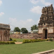
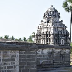
Kandukur mandal is an administrative division in Andhra Pradesh that encompasses a main town and surrounding villages across its territory. The town of Kandukur serves as the administrative center where local governance functions are managed.
The mandal structure was created as part of administrative reforms in Andhra Pradesh to organize local governance and revenue management more effectively. This system allowed for better coordination of regional affairs from the local level.
Telugu is the language spoken in daily life throughout the mandal, shaping how people communicate and connect with each other. Local traditions and customs are woven into the rhythm of work and community gatherings.
The administrative center is located in Kandukur town where visitors can obtain information and access local services. It is advisable to visit during morning hours to avoid long queues at government offices.
This region has a notably different gender ratio compared to surrounding mandals, revealing demographic patterns worth observing. The distribution of population between men and women here differs in ways that are distinct from neighboring areas.
Location: Sri Potti Sri Ramulu Nellore district
Capital city: Kandukur
GPS coordinates: 15.21300,79.90700
Latest update: December 14, 2025 14:26
National Highway 16
35.4 km
Sri Kodandrama Swamy Temple, Vontimitta
131.5 km
Kotappakonda
104.8 km
Kondaveedu Fort
122.7 kmSuryalanka Beach
94.3 km
Penchalakona
110.9 km
Krishna Wildlife Sanctuary
100.9 km
Sri Ranganathaswamy Temple
75.3 km
Chandavaram Buddhist site
95.2 km
Bhavanarayana temple
97.5 km
Beeramgunta Poleramma Temple
66.5 kmSaraswata Niketanam
76.6 km
SiddalaKona
114 km
Satyanarayana UDA Lake Park
138.3 km
Annamayya Library
134 km
Aretamma Temple
76.9 km
Kapoteswara temple
123 km
Bhairavakonda Caves
77.1 km
Athirala parasurama temple
134.3 km
Annamacharya statue in Tallapaka
138.3 km
Sri Lakshmi Narasimha Swamy Temple, Ahobilam
132.8 km
Siddavatam Fort
130.6 km
Saumyanatha temple
135.2 km
Motupalle Chola temple
70.1 km
Ramayapatnam Lighthouse
23.7 km
Udayagiri Fort
78.2 km
Kotta palem
76.9 km
Bhattiprolu Stupa
136.1 kmVisited this place? Tap the stars to rate it and share your experience / photos with the community! Try now! You can cancel it anytime.
Discover hidden gems everywhere you go!
From secret cafés to breathtaking viewpoints, skip the crowded tourist spots and find places that match your style. Our app makes it easy with voice search, smart filtering, route optimization, and insider tips from travelers worldwide. Download now for the complete mobile experience.
A unique approach to discovering new places❞
— Le Figaro
All the places worth exploring❞
— France Info
A tailor-made excursion in just a few clicks❞
— 20 Minutes