
Alur mandal, mandal in Kurnool district of Andhra Pradesh, India
Location: Kurnool district
Capital city: Alur
GPS coordinates: 15.39500,77.22500
Latest update: March 19, 2025 07:45
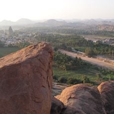
Hampi
82.2 km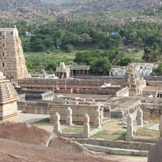
Vijayanagara
82 km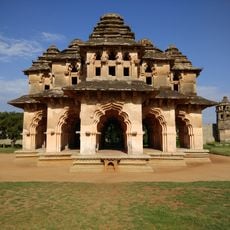
Lotus Mahal Pavilion
81.4 km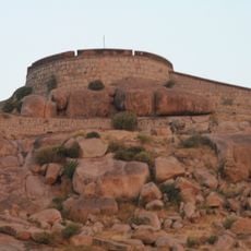
Bellary Fort
43.5 km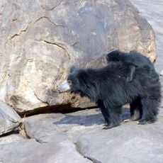
Daroji Sloth Bear Sanctuary
78.2 km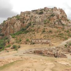
Gooty Fort
53.2 km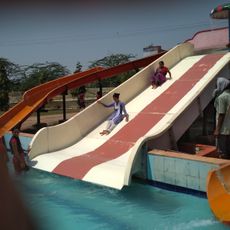
Aqua Fun
49.6 km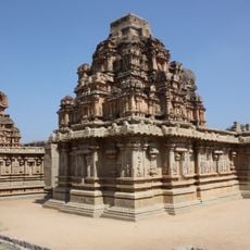
Hazara Rama temple
81.6 km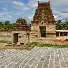
Pattabhirama Temple
80.3 km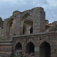
Adoni Fort
28.1 km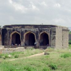
Mosque in Dannaik's enclosure
81.8 km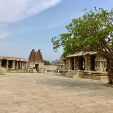
Vitthala Temple, Hampi
80.7 km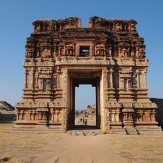
Achyutaraya temple
81.3 km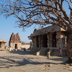
Vijaya Vithala temple
80.7 km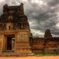
Chanderasekara Temple
81.1 km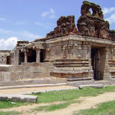
I)Water Pavilion in Zenana Enclosureii) Guards House in Zenana Enclosure iii) Walls and Gateways of the Zenana Enclosure iv) Ranga Temple
81.3 km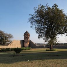
North Watch Tower in the Zenana Enclosure
81.4 km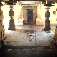
Large Underground Temple
82.1 km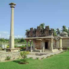
Gnanagitte Jaina Temple
80.7 km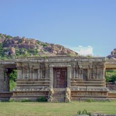
Vishnu Temple No.III facing South Gateway of Vittala Temple
80.7 km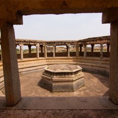
Octagonal Water Pavilion
81.8 km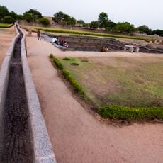
Old Water Supply Scheme
81.1 km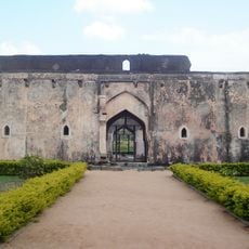
Queen's Bath
81.3 km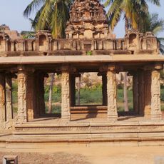
Mandapa in a Field close to Talarigattu Road
79.7 km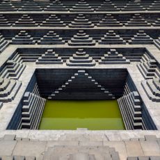
Large Public Bath or Tank
81.5 km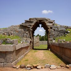
Bhima's Gateway
80.4 km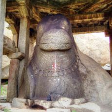
Monolithic Bull
81.6 km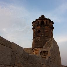
Muhammadan Watch tower in Dannaik's Enclosure
81.9 kmReviews
Visited this place? Tap the stars to rate it and share your experience / photos with the community! Try now! You can cancel it anytime.
Discover hidden gems everywhere you go!
From secret cafés to breathtaking viewpoints, skip the crowded tourist spots and find places that match your style. Our app makes it easy with voice search, smart filtering, route optimization, and insider tips from travelers worldwide. Download now for the complete mobile experience.

A unique approach to discovering new places❞
— Le Figaro
All the places worth exploring❞
— France Info
A tailor-made excursion in just a few clicks❞
— 20 Minutes