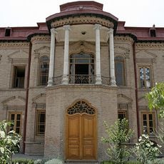
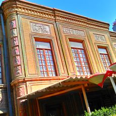
Greater Tehran, metropolis in Tehran, Iran
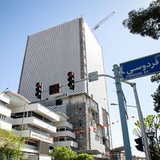
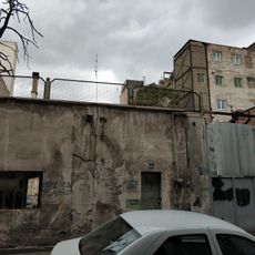
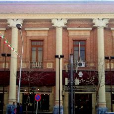
Greater Tehran is a metropolis and urban agglomeration covering a vast area that includes neighboring towns, villages, and districts connected by roads, railways, and shared services. The region functions as one continuous urban zone with the capital at its core, stretching from mountainous northern areas to southern plains.
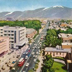
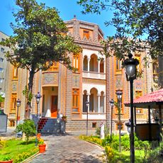
Greater Tehran started as a small settlement near the ancient city of Ray before becoming Persia's capital in the late 18th century. The region grew rapidly during the 20th century due to migration and modernization efforts, with population expanding from hundreds of thousands to over two million.
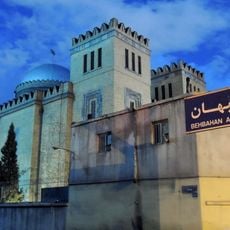
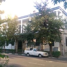
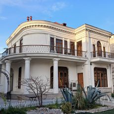
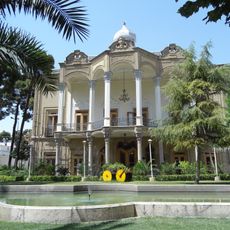
Greater Tehran is home to Persians, Azerbaijanis, Kurds, and other ethnic groups who shape the city's character and daily life. This diversity is visible in different neighborhoods, where various traditions and customs coexist and influence how residents live together.
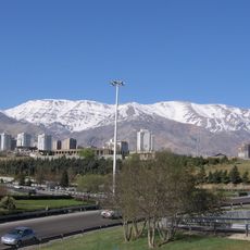
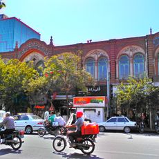
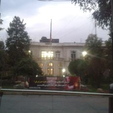
The region is well-connected by a large metro system, bus lines, and highways making it easy to move between neighborhoods and the center. Terrain varies significantly, with higher elevations in the north and flatter zones in the south, which is useful to know when planning routes through the area.
The region sits on fault lines and experiences earthquakes regularly, which has significantly influenced building standards and urban planning throughout the area. This seismic activity is a constant factor shaping how structures are designed and how residents prepare for potential events.
The community of curious travelers
AroundUs brings together thousands of curated places, local tips, and hidden gems, enriched daily by 60,000 contributors worldwide.