Atessa

Log in to your account

AroundUs is a community-driven map of interesting places, built by curious explorers like you. It grows with every review, story, and photo you share.
Connect to save your favorite spots, contribute locations, and create personalized routes.
Continue with Google
Continue with Apple
Continue with X
Continue with Facebook
Continue with email
By continuing, you accept our Terms and Conditions and our Privacy Policy
Create an account
Add to collection
Map
Suggest a change
Share

Atessa, Medieval municipality in Val di Sangro, Abruzzo, Italy

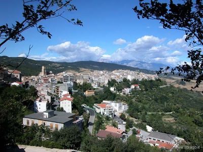
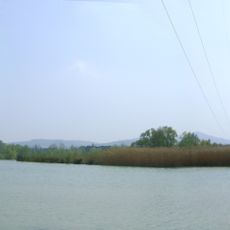
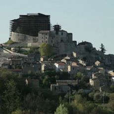
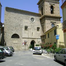
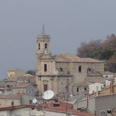
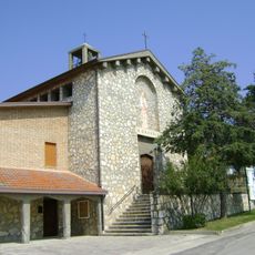
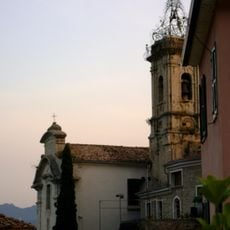
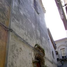
Atessa is a medieval town in the Val di Sangro region of Abruzzo, spread across two hills at approximately 435 meters elevation. The settlement features stone buildings and ancient walls overlooking the Sangro River valley.

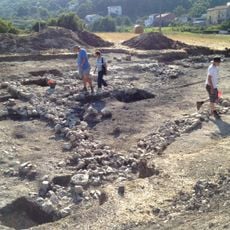
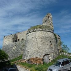
The settlement originated in the 5th century following the fall of the Western Roman Empire and became a strategic stronghold. Control of the territory passed through several noble families, including the Courtenay dynasty, who shaped its development over the centuries.

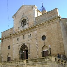
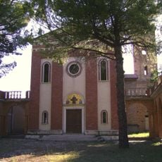
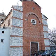
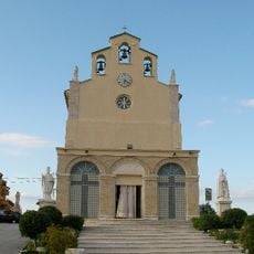
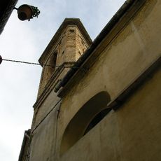
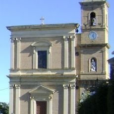
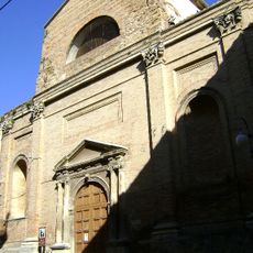
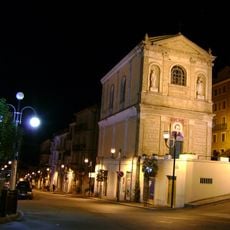
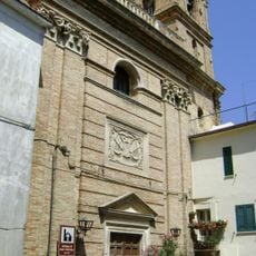
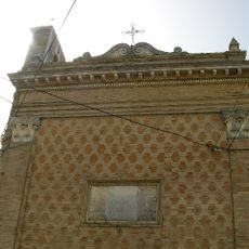
The Cathedral of San Leucio displays a mix of Gothic and Baroque styles, with remarkable metalwork by master craftsman Nicola da Guardiagrele that reflects the town's artistic heritage. The church remains central to the community's religious and cultural life.

The town is accessed via the Val di Sangro exit on the A14 motorway, approximately 70 kilometers from Chieti. Accommodation options and basic services are available near the historical center for visitors planning a stay.

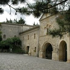
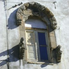
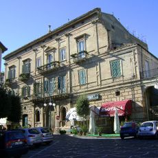
Casa De Marco, a former noble residence, was transformed into an Ethnographic Museum that houses 17th-century windows and architectural details. The building offers insight into how families lived and organized their homes during that period.

Location: Province of Chieti

Capital city: Atessa

Elevation above the sea: 435 m

Shares border with: Altino, Archi, Bomba, Carpineto Sinello, Casalanguida, Casalbordino, Colledimezzo, Gissi, Guilmi, Lanciano, Montazzoli, Paglieta, Perano, Pollutri, Sant'Eusanio del Sangro, Scerni, Tornareccio, Villa Santa Maria

Website: http://comunediatessa.it

GPS coordinates: 42.06667,14.45000

Latest update: December 20, 2025 01:42

Photos
Reviews

Visited this place? Tap the stars to rate it and share your experience / photos with the community! Try now! You can cancel it anytime.

« Atessa - Medieval municipality in Val di Sangro, Abruzzo, Italy » is provided by Around Us (aroundus.com). Images and texts are derived from Wikimedia project under a Creative Commons license. You are allowed to copy, distribute, and modify copies of this page, under the conditions set by the license, as long as this note is clearly visible.

Discover hidden gems everywhere you go!

From secret cafés to breathtaking viewpoints, skip the crowded tourist spots and find places that match your style. Our app makes it easy with voice search, smart filtering, route optimization, and insider tips from travelers worldwide. Download now for the complete mobile experience.

Around Us App Screenshot

A unique approach to discovering new places

Le Figaro

All the places worth exploring

France Info

A tailor-made excursion in just a few clicks

20 Minutes