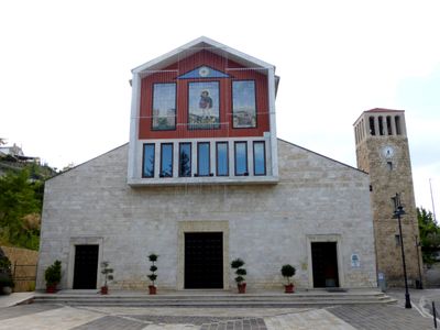
Roccamontepiano, Italian comune
Location: Province of Chieti
Elevation above the sea: 500 m
Shares border with: Casalincontrada, Fara Filiorum Petri, Pretoro, Bucchianico, Serramonacesca
Website: http://comune.roccamontepiano.ch.it
GPS coordinates: 42.24473,14.12733
Latest update: March 31, 2025 11:59
San Liberatore a Maiella
2.5 km
Santa Maria Arabona
8.4 km
Basilica of the Holy Face
5.4 km
Santuario di San Camillo de Lellis
8 km
Mammarosa
8.2 km
Parco territoriale attrezzato Sorgenti solfuree del Lavino
8.9 km
Castel Menardo
3.4 km
Hermitage of Sant'Onofrio
3.8 km
Santuario di San Rocco
73 m
Hermitage of the Holy Spirit
8.8 km
Convento dei Cappuccini
9.4 km
Hermitage of Sant'Angelo (Lettomanoppello)
7.2 km
Museo dell'artigianato artistico abruzzese
9.7 km
Santa Maria Calvona
10.8 km
Santa Chiara
9.7 km
Chiesa di Santa Maria delle Grazie
5.2 km
Museum of customs and tradition
9.7 km
Complesso rupestre di San Liberatore
2.8 km
Chiesa di Santo Stefano
5.1 km
Area faunistica del Lupo Appenninico (lato sud)
3.8 km
Porta San Giovanni
9.6 km
Palazzo del Municipio
9.7 km
Grotta della Neve
7.4 km
Chiesa parrocchiale di S. Andrea Apostolo
3.4 km
Chiesa parrocchiale di S. Nicola
3.3 km
Santo Stefano
8.6 km
Villa Comunale
8.6 km
San Giovanni Battista e San Vincenzo
7.4 kmReviews
Visited this place? Tap the stars to rate it and share your experience / photos with the community! Try now! You can cancel it anytime.
Discover hidden gems everywhere you go!
From secret cafés to breathtaking viewpoints, skip the crowded tourist spots and find places that match your style. Our app makes it easy with voice search, smart filtering, route optimization, and insider tips from travelers worldwide. Download now for the complete mobile experience.
A unique approach to discovering new places❞
— Le Figaro
All the places worth exploring❞
— France Info
A tailor-made excursion in just a few clicks❞
— 20 Minutes