Selargius, Italian comune
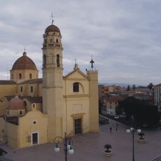
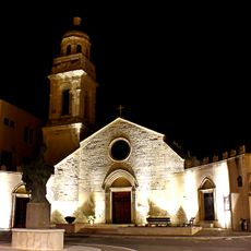
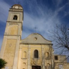
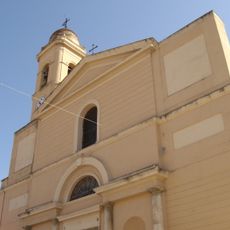
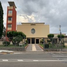
Selargius is a commune in the Metropolitan City of Cagliari in Sardinia, Italy. The municipality spreads across flat to gently rolling land and features residential areas, agricultural areas, and small commercial zones.
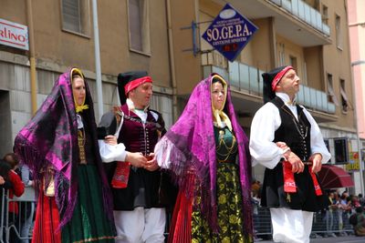
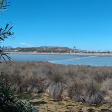
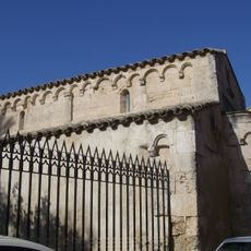
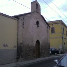
The area was settled since ancient times, likely due to proximity to the sea and access to salt sources. Over centuries, Selargius evolved from an agricultural area into a suburban commune of the growing city of Cagliari.
The name Selargius may derive from Latin terms related to salt production, reflecting the area's historical economic focus. Today, proximity to Cagliari shapes daily life here, where rural traditions coexist with urban influences.
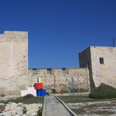
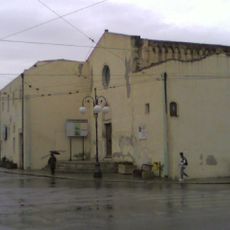
The location is easily reached by car or public transport from Cagliari and serves many as a residential area with good connections to the city center. Visitors should note this is a residential area rather than a tourist center, so amenities reflect everyday local life.
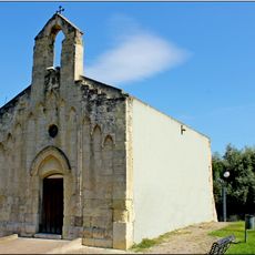
Selargius was long known for ceramic and pottery production, a craft tradition that survives today in only a few workshops. This historical craft is not immediately visible to visitors but is valued by locals who know the area's artisanal heritage.
Location: Metropolitan City of Cagliari
Inception: 1947
Capital city: Selargius
Elevation above the sea: 10 m
Shares border with: Cagliari, Monserrato, Quartu Sant'Elena, Quartucciu, Sestu, Settimo San Pietro
Website: https://comune.selargius.ca.it
GPS coordinates: 39.25366,9.16062
Latest update: December 20, 2025 16:08
Castle of San Michele
4.5 km
Molentargius - Saline Regional Park
3 km
Sant'Elena
2.3 km
Parco di Monte Claro
4.3 km
Chiesa di Sant'Ambrogio
1.4 km
San Pietro Apostolo
2.9 km
Church Assumption of Mary (Selargius)
797 m
Cuccuru Nuraxi
3.9 km
Chiesa di Sant'Agata
2.2 km
Sant'Alenixedda
3.1 km
Museo delle Ferrovie della Sardegna
1.9 km
Sant'Efisio
2.7 km
San Pietro
4.5 km
San Pietro di Ponte
3 km
Saints Peter and Paul Church
4.9 km
Chiesa di San Giuseppe
3.2 km
San Giuliano
1.3 km
Chiesa di San Benedetto
2.6 km
Museo "Sa Dom'e Farra"
2.6 km
Anfiteatro del parco di San Michele
4.3 km
San Salvatore
8 km
Parco di San Michele
4.5 km
San Giorgio Martire
1.5 km
Parco comunale "Efisio Marcis"
8 km
Bunker II
4.2 km
Chiesa di San Giorgio
8.1 km
Parco di Via Curtatone
778 m
Bunker III
4.2 kmVisited this place? Tap the stars to rate it and share your experience / photos with the community! Try now! You can cancel it anytime.
Discover hidden gems everywhere you go!
From secret cafés to breathtaking viewpoints, skip the crowded tourist spots and find places that match your style. Our app makes it easy with voice search, smart filtering, route optimization, and insider tips from travelers worldwide. Download now for the complete mobile experience.
A unique approach to discovering new places❞
— Le Figaro
All the places worth exploring❞
— France Info
A tailor-made excursion in just a few clicks❞
— 20 Minutes