
Castel Sant'Elia, Italian comune
Location: Province of Viterbo
Capital city: Castel Sant'Elia
Elevation above the sea: 210 m
Website: http://www.comunecastelsantelia.it/
Shares border with: Civita Castellana, Fabrica di Roma, Faleria, Mazzano Romano, Nepi
Website: http://comunecastelsantelia.it
GPS coordinates: 42.25139,12.37500
Latest update: March 29, 2025 08:14
Falerii Novi
5.5 km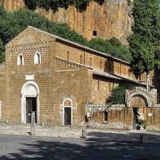
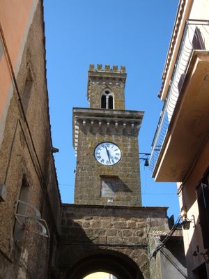
Basilica di Sant'Elia
253 m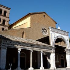
Civita Castellana Cathedral
5 km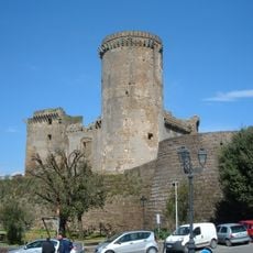
Rocca dei Borgia
2.6 km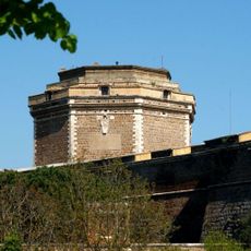
Fort Sangallo
4.9 km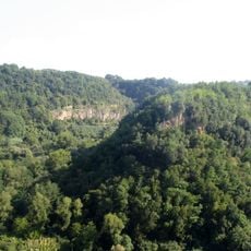
Parco suburbano Valle del Treja
5.4 km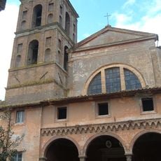
Nepi Cathedral
2.5 km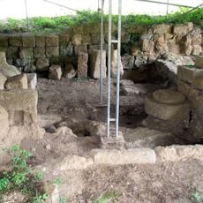
Narce
5.7 km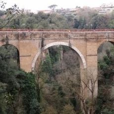
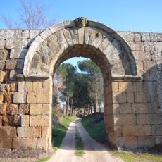
Ponte Clementino
5.3 km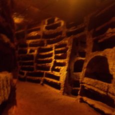
Catacomba di Santa Savinilla
3 km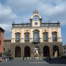
Palazzo comunale
2.4 km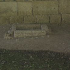
Santuario di Monte Li Santi
5.8 km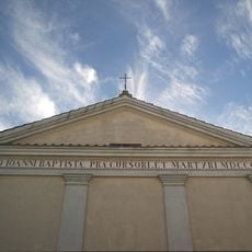
San Giovanni Decollato
2.3 km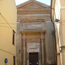
San Pietro
2.5 km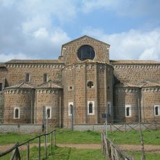
Santa Maria di Falleri
5.6 km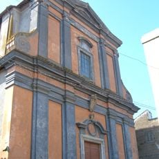
Chiesa di Sant'Antonio Abate
431 m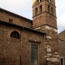
Santa Maria del Carmine, Civita Castellana
5.5 km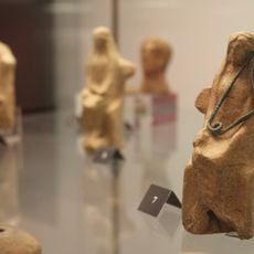
Virtual Archaeological Museum of Narce
5.6 km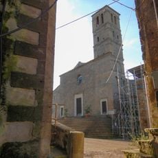
San Giuliano
6.2 km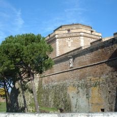
Museo Archeologico dell'Agro Falisco
5 km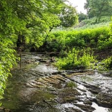
I Cavoni
2.9 km
Sant'Agostino
6.2 km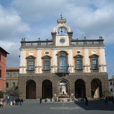
Archaeological museum of Nepi
2.4 km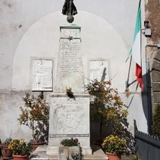
Monumento ai caduti
5.9 km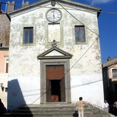
Chiesa del Santissimo Nome di Gesù
5.3 km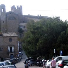
Palazzo baronale
5.3 km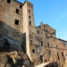
Castello degli Anguillara
6.2 km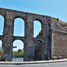
Mura
2.7 kmReviews
Visited this place? Tap the stars to rate it and share your experience / photos with the community! Try now! You can cancel it anytime.
Discover hidden gems everywhere you go!
From secret cafés to breathtaking viewpoints, skip the crowded tourist spots and find places that match your style. Our app makes it easy with voice search, smart filtering, route optimization, and insider tips from travelers worldwide. Download now for the complete mobile experience.

A unique approach to discovering new places❞
— Le Figaro
All the places worth exploring❞
— France Info
A tailor-made excursion in just a few clicks❞
— 20 Minutes