
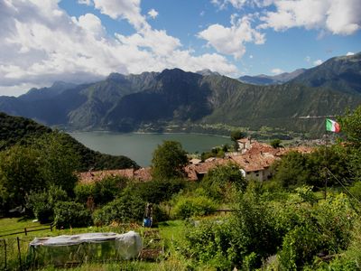
Bondone, Italian comune
Location: Trentino
Elevation above the sea: 720 m
Shares border with: Bagolino, Idro, Magasa, Storo, Ledro, Valvestino
Website: http://comune.bondone.tn.it
GPS coordinates: 45.80649,10.55027
Latest update: March 4, 2025 21:42
Monte Tombea
5.8 km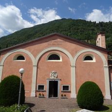
Holy Name of Mary sanctuary
2.7 km
Palvico
5.4 km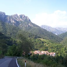
Monte Cingla
2.7 km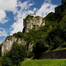
Castello di San Giovanni di Bondone
1.1 km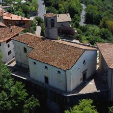
Nativity of Mary church
137 m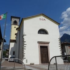
Annunciation of Mary church
2.8 km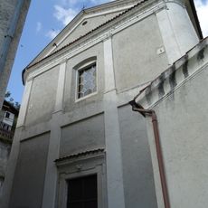
Saint Anthony the Great church
5.9 km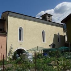
Holy Cross church
2.6 km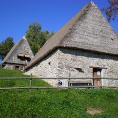
Museo etnografico della Valvestino
5.9 km
Bondone
5 m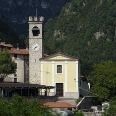
Saints Simon and Jude church
5.3 km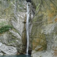
Büs da Mort
5.1 km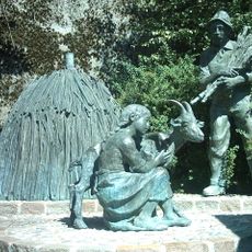
Monumento al carbonaio
99 m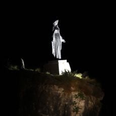
Madonnina di Bes
5.2 km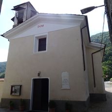
Saint Matthew church
4.2 km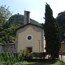
Our Lady of the Rosary church
765 m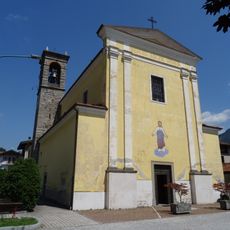
Saint Joseph church
2.4 km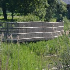
Biotopo Canneto d'Idro
1.5 km
Madonna di Plos chapel
846 m
Rete di riserve Alpi Ledrensi
3 km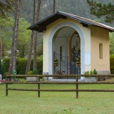
Saint Maurice chapel
4.8 km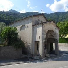
Cappella della Madonna del Buon Consiglio
3.6 km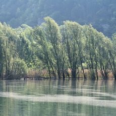
Biotopo Lago d'Idro
1.3 km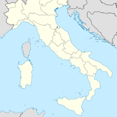
Cava inerti "Olta de Cavagnaol"
4.5 km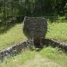
Storo lime kiln
5 km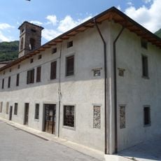
Conventino
2.6 km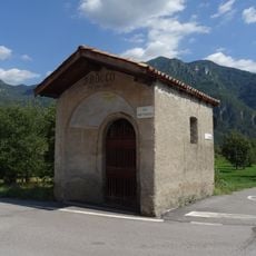
Saint Roch shrine
2.6 kmReviews
Visited this place? Tap the stars to rate it and share your experience / photos with the community! Try now! You can cancel it anytime.
Discover hidden gems everywhere you go!
From secret cafés to breathtaking viewpoints, skip the crowded tourist spots and find places that match your style. Our app makes it easy with voice search, smart filtering, route optimization, and insider tips from travelers worldwide. Download now for the complete mobile experience.

A unique approach to discovering new places❞
— Le Figaro
All the places worth exploring❞
— France Info
A tailor-made excursion in just a few clicks❞
— 20 Minutes