Monte Tombea, Mountain summit in Lombardy, Italy
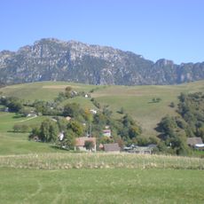
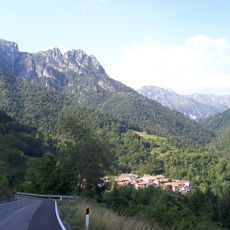
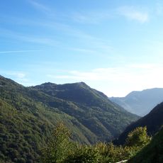
Monte Tombea is a 1,950-metre summit of the Brescia and Garda Prealps, the second-highest peak of the Alto Garda Bresciano regional park after Monte Caplone. Its ridge forms the watershed between the Vestino valley and the Ledro area, and until 1918 it marked the state border between Italy and Austria. The mountain lies almost entirely in the municipality of Magasa, with only the northern watershed belonging to Bondone and Storo.
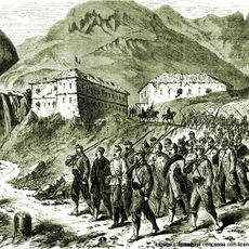
Until 1918 the ridge south of Monte Tombea carried the state border between Italy and Austria, and the mountain lay almost entirely in the municipality of Magasa from 1872. Austrian geologists studied the area for the Geologische Reichanstalt: Karl Richard Lepsius worked on the stratigraphy between 1875 and 1878, and Alexander Bittner published two contributions in 1881. After World War I the Trentino territory passed to Italy.
The name Tombea is debated: popular etymology links it to the earth mounds on the Piana degli Stor, which look like tombs, while others trace it to the Latin tumulus, meaning raised ground or hill. In 1856 Bartolomeo Venturini of Magasa recorded the alternate name Gaza in a poem in decasyllabic sestets.
Several marked trails reach the summit from different starting points, mainly from villages within the Alto Garda Bresciano Park. Plan adequate time for the ascent, as the duration varies depending on which route you choose.
The position of this summit in the Southern Limestone Alps creates conditions that support rare plant species adapted to calcium-rich soil. These specific geological formations contribute to the biodiversity found in this section of the Alps.
The community of curious travelers
AroundUs brings together thousands of curated places, local tips, and hidden gems, enriched daily by 93,609 contributors worldwide.