Monte Camiolo, Mountain summit in Lombardy, Italy
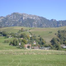
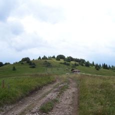
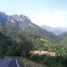
Monte Camiolo is a mountain of the Brescia and Garda Prealps in the Tombea-Manos group, in the municipalities of Magasa and Valvestino, within the Alto Garda Bresciano Park. Its summit, called Cima Camiolo or Pesòc, reaches 1,235 m; locals use "Camiolo" for the whole area of woods, meadows and former hay meadows, divided into Camiolo di Cima, di Mezzo and di Fondo. The summit zone runs from the Olva land past Bocca Croce (1,061 m) and Monte Pine (1,225 m) to the peak.
The mountain first appeared in historical records in 1511 within a document concerning territorial boundaries between local communities. Its name became rooted in the medieval history of the Vestino Valley region.
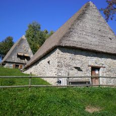
Shepherds have long used these slopes to graze their herds and gather fodder for winter months. Local families shaped the landscape through generations of pastoral work that continues to mark the terrain.
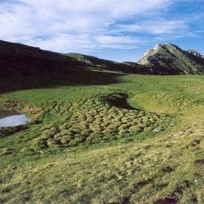
Bocca alla Croce, at 1,061 m, can be reached by car on a dirt road from Magasa or Valvestino with a transit permit, and has a landing pad for the rescue helicopter. Four trails meet at the pass, leading north to Magasa, Monte Mangà and Monte Gosauer, south to Camiolo di Cima, southeast to Droane and Tavagnone, and northeast to Fornello-Cima Rest-Cadria. No water table exists anywhere on the mountain; the old farm buildings relied on cisterns and rainwater pools.
The name Camiolo does not refer to the peak itself: locals call the summit Pesòc, a term traced to the Germanic "spitz" (pointed) and Celtic "higel" (hill), while "Camiolo" covers the whole mountain with its pastures, woods and ruined farmsteads. The name first appears in a parchment of 31 October 1511, when Vestino Valley communities divided the land under Count Bartolomeo Lodron.
The community of curious travelers
AroundUs brings together thousands of curated places, local tips, and hidden gems, enriched daily by 92,804 contributors worldwide.