Monte Stino, Mountain summit in Lombardy, Italy.
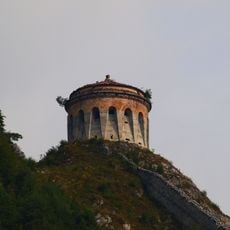
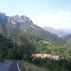
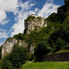
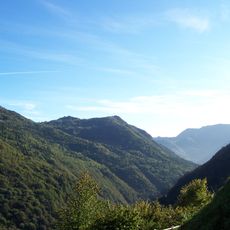
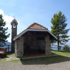
Monte Stino is a mountain summit located within the Brescia and Garda Prealps, standing at 1,466 meters and positioned between Lake Idro and Lake Garda. The peak is accessible by car through Capovalle via a road that reaches a mountain refuge at 1,437 meters.
During World War I, the mountain served as a strategic military position with two galleries carved into the rock for artillery placement. These fortifications demonstrate its importance to military operations in that period.
Locals call the mountain Stì in Brescian dialect. Researchers link the name Stino to the pre-Roman Stoni people, who also gave Vestone and Val Vestino their names; Natale Bottazzi instead derives it from the Germanic stein, stone or rock, fitting the rocky slopes. Some scholars hold that the mountain itself named Val Vestino.
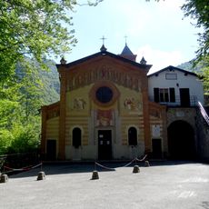
Monte Stino lies in the municipalities of Capovalle and Valvestino, above the village of Moerna, in the Pizzocolo-Zingla-Manos group. The 1,466 m summit is reached on foot; the historic approach follows the route of the "sentiero la Calva o del Cingolo Rosso" through Monte Calva and Monte Cingolo Rosso to Bocca Cocca, about 9 km, with steep gullies and scree. Plan for sudden snow and rain, as Manara reported snow on the ridge in June 1848.
In November 1526 about 20,000 Landsknechte under Georg von Frundsberg crossed Monte Stino, bypassing the Venetian defences of Rocca d'Anfo on their way to Rome. In June 1848 Luciano Manara held the summit in snow with the I Battaglione dei Volontari Lombardi, writing to Fanny Bonacina Spini from Capovalle that he was going up to see "those other poor devils".
The community of curious travelers
AroundUs brings together thousands of curated places, local tips, and hidden gems, enriched daily by 93,985 contributors worldwide.