Monte Cingla, Mountain summit in Brescia and Garda Prealps, Italy
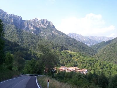
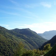
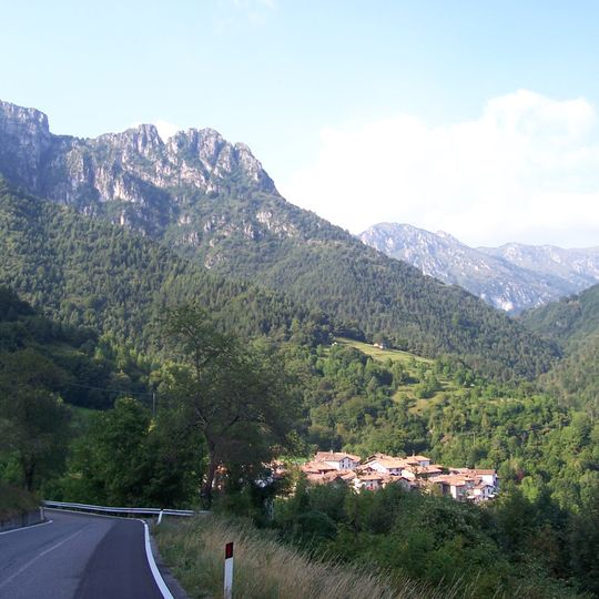
Monte Cingla is a mountain summit in the Brescia Alps and Garda Prealps that rises to 1,669 meters above sea level with two peaks of equal height. These peaks are separated by several dozen meters of dolomite rocky terrain, creating a technically challenging structure.
In May 1915, as the Italian Royal Army advanced into the Giudicarie, the Cingla-Tombea-Caplone massif became part of the Third Rear Defence Line. From 1915 to 1918, 500 military and civilian workers under the Military Engineers built fortifications and a 3,300-metre mule track, 1.50 metres wide, across the rocky crest toward Bocca Cocca.
The name likely derives from the Latin cingulum, meaning belt or girdle, describing a strip of land around a cliff or a grassy ledge among crags. The same root appears in Monte Cingla near Vobarno, Monte Zingla, Monte Cingolo Rosso and Cima Cingla in Val di Ledro.
The main summit is reached by a military mule track built by the Genio militare during the First World War, running along the rocky crest from Monte Cingla towards Bocca Cocca to link up with the Valsabbina defensive line. The ascent is considered among the hardest of all the peaks in the Alto Garda Bresciano Park, so allow time and carry water; the ridge is exposed dolomite rock.
A three-meter-high cross has stood on the southwestern peak since 1989, placed there by climbers from the Società degli Alpinisti Tridentini of Bondone. The cross serves as a visible landmark that can be spotted from a distance.
The community of curious travelers
AroundUs brings together thousands of curated places, local tips, and hidden gems, enriched daily by 93,816 contributors worldwide.