
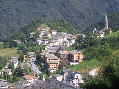
Santa Brigida, Italian comune in Lombardy
Location: Province of Bergamo
Elevation above the sea: 805 m
Shares border with: Olmo al Brembo, Cassiglio, Averara, Cusio, Gerola Alta
Website: http://comune.santabrigida.bg.it
GPS coordinates: 45.98333,9.61667
Latest update: March 5, 2025 10:05
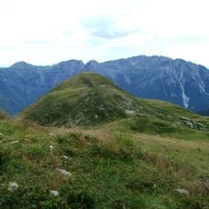
Monte Avaro
4.2 km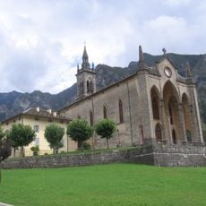
San Martino
6.3 km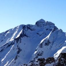
Monte Pegherolo
8.8 km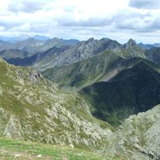
Monte Ponteranica
5.4 km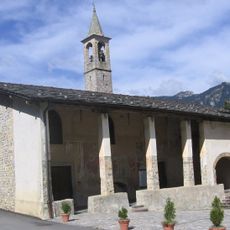
Santuario della Beata Vergine Addolorata
418 m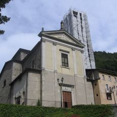
Sant'Antonio Church
2.9 km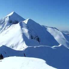
Monte Cavallo
8.1 km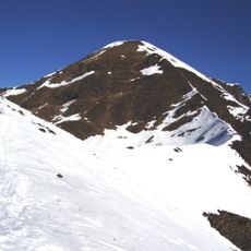
Pizzo Rotondo
9.3 km
Santa Margherita Church
1.3 km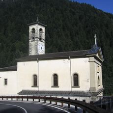
San Giovanni Battista Church
4.8 km
Monte Triomen
4.5 km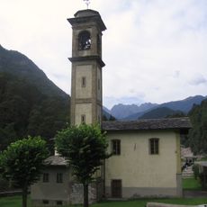
Santuario della Beata Vergine dei Campelli
3.8 km
Santa Brigida
659 m
Chiesa di Sant'Antonio Abate
6.6 km
Sant'Ambrogio
3 km
Chiesa di San Giacomo
1.2 km
Chiesa di San Rocco
2.8 km
San Giacomo
4.7 km
San Mattia
7.4 km
Santa Maria Assunta
6.4 km
Santa Maria Assunta
4.2 km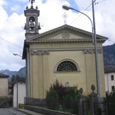
Chiesa di San Michele Arcangelo (Valnegera)
6.8 km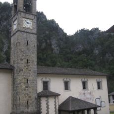
Chiesa di San Bartolomeo
1.9 km
Piani di Bobbio e Valtorta
8.8 km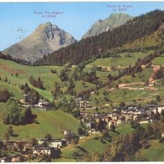
Pizzo di Trona
7.7 km
San Giovanni Church
1.1 km
Town hall of Piazzatorre
5.1 km
Town hall of Piazza Brembana
6.3 kmReviews
Visited this place? Tap the stars to rate it and share your experience / photos with the community! Try now! You can cancel it anytime.
Discover hidden gems everywhere you go!
From secret cafés to breathtaking viewpoints, skip the crowded tourist spots and find places that match your style. Our app makes it easy with voice search, smart filtering, route optimization, and insider tips from travelers worldwide. Download now for the complete mobile experience.

A unique approach to discovering new places❞
— Le Figaro
All the places worth exploring❞
— France Info
A tailor-made excursion in just a few clicks❞
— 20 Minutes