Monte Avaro, Mountain peak in Lombardy, Italy
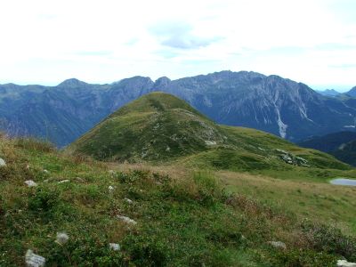
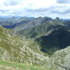
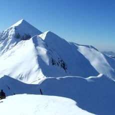
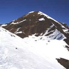
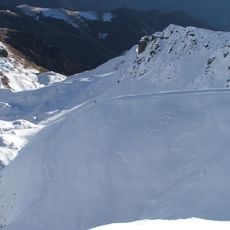
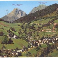
Monte Avaro is a 2088-meter peak in the Bergamo Alps characterized by steep slopes and a varied landscape of rock, pasture, and forest. The mountain is crossed by multiple trails that connect different elevations and natural features across its terrain.
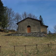
For centuries, this peak has marked territorial boundaries between communities in the upper Val Brembana valley, serving as a natural dividing line during medieval times. Its prominent position made it a reliable landmark for establishing and maintaining these regional divisions.
The mountain's slopes are part of a landscape where local families have grazed livestock for generations, and their presence shapes how the land looks and is used today. Walking through these heights, visitors can observe how pastoral traditions remain woven into daily routines in this alpine region.
The hike requires sturdy footwear and physical endurance as the route becomes increasingly steep through higher elevations. Starting early in the day and bringing water and snacks are essential to complete the climb safely and comfortably.
The mountain also attracts cyclists seeking a serious challenge on a long, steep ascent that features demanding grades throughout most of the climb. This route ranks among the most difficult cycling challenges in the region.
The community of curious travelers
AroundUs brings together thousands of curated places, local tips, and hidden gems, enriched daily by 60,000 contributors worldwide.