
Civitella San Paolo, Italian comune
Location: Metropolitan City of Rome
Capital city: Civitella San Paolo
Elevation above the sea: 195 m
Shares border with: Capena, Fiano Romano, Nazzano, Ponzano Romano, Rignano Flaminio, Sant'Oreste
Website: http://comunecivitellasanpaolo.it/it
GPS coordinates: 42.19583,12.58222
Latest update: March 9, 2025 01:32
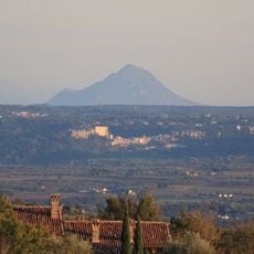
Monte Soratte
8.6 km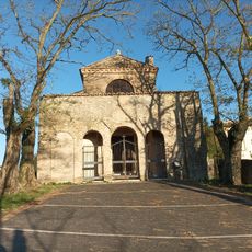
Sant'Antimo
4.2 km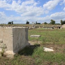
Lucus Feroniae
7.4 km
Riserva naturale Tevere-Farfa
4.3 km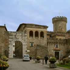
Ducal Castle Orsini
2.8 km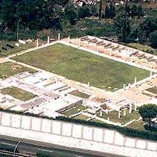
Villa of the Volusii Saturnini
7.2 km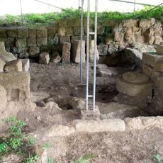
Narce
13.6 km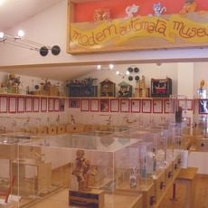
Modern Automata Museum
9.4 km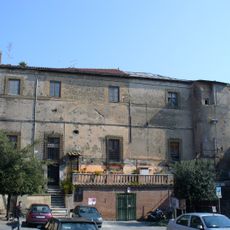
Castello degli Orsini
8.6 km
Cathedral of the Assumption of Mary
11.3 km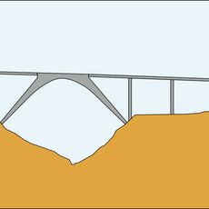
San Giuliano Viaduct
2.3 km
Santuario di Monte Li Santi
13.8 km
Grotte di Torri
7.4 km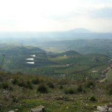
Torre Baccelli
9.9 km
Chiesa di San Lorenzo
6.5 km
San Giuliano
12.1 km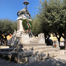
Monumento ai Caduti delle due Guerre Mondiali Cittadini di Fiano Romano
2.8 km
Archaeological Museum Lucus Feroniae
7.2 km
Proloco Sant Oreste Museo Naturalistico Monte Soratte Pinacoteca Comunale
6.7 km
Biblioteca Comunale di Morlupo
8.5 km
Sant'Agostino
12 km
Chiesa del Santissimo Nome di Gesù
13.6 km
Rocca Colonna
10.3 km
Palazzo baronale
13.6 km
Castello Orsini
11.6 km
Castello degli Anguillara
12 km
Castello Savelli
3.9 km
Conference of mayors of the Tiberina / Flaminia / Cassia area
3.6 kmReviews
Visited this place? Tap the stars to rate it and share your experience / photos with the community! Try now! You can cancel it anytime.
Discover hidden gems everywhere you go!
From secret cafés to breathtaking viewpoints, skip the crowded tourist spots and find places that match your style. Our app makes it easy with voice search, smart filtering, route optimization, and insider tips from travelers worldwide. Download now for the complete mobile experience.

A unique approach to discovering new places❞
— Le Figaro
All the places worth exploring❞
— France Info
A tailor-made excursion in just a few clicks❞
— 20 Minutes